Taking off from Baltimore Washington International Airport on November 6, the view out the window was stunning. If the foliage wasn’t exactly at peak autumn color, it was close. Landing in Buenos Aires the next day was equally beautiful, but it was the purple blooms of the jacaranda trees that caught my eye. And upon landing in Ushuaia the day after that, I noticed vibrant red blooms on the shrubs. Within 48 hours and 6,500 miles, I went from autumn to spring.
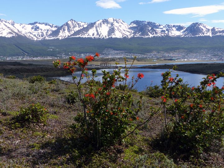
Spring flowers bloom in Ushuaia, Argentina. Photo by Kathryn Hansen.
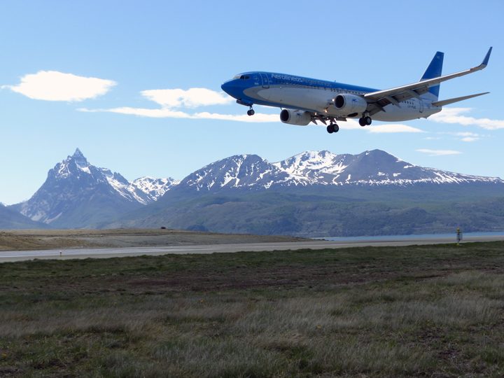
An Aerolineas Argentinas flight lands in Ushuaia. Photo by Kathryn Hansen.
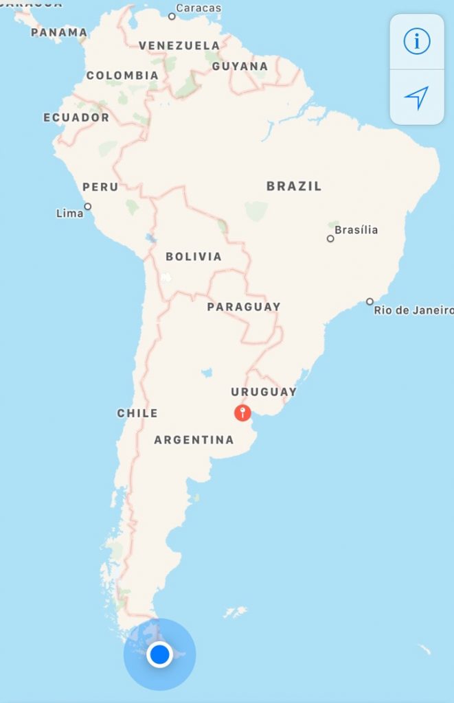
Ushuaia (blue dot) is known as the southernmost city in the world. The red pin is Buenos Aires.
Spring in the Southern Hemisphere is when NASA makes annual science flights over Antarctica. The flights are part of Operation IceBridge, NASA’s longest-running mission to map polar ice (now in its ninth year in the Southern Hemisphere). But for the first time, flights over the icy continent are being staged from Ushuaia, Argentina, instead of Punta Arenas, Chile.
Upon arriving in Ushuaia, I met some of the IceBridge scientists and caught up on the status of our aircraft, the P-3. Most people have already been here for a few weeks, as science flights began on October 29.
For the next 10 days, I will be your blogger in the field. These Notes from the Field will differ from others, which are typically written by scientists. I am not a scientist. But as a writer for NASA Earth Observatory, I look forward to being your eyes and ears in the field, delivering stories about the people and the science happening at the bottom of the world.
This hangar will be our office. As the photograph shows, the office is a bit sparse today. Engineers are waiting for parts to arrive to repair a window through which the Airborne Topographic Mapper makes its observations.
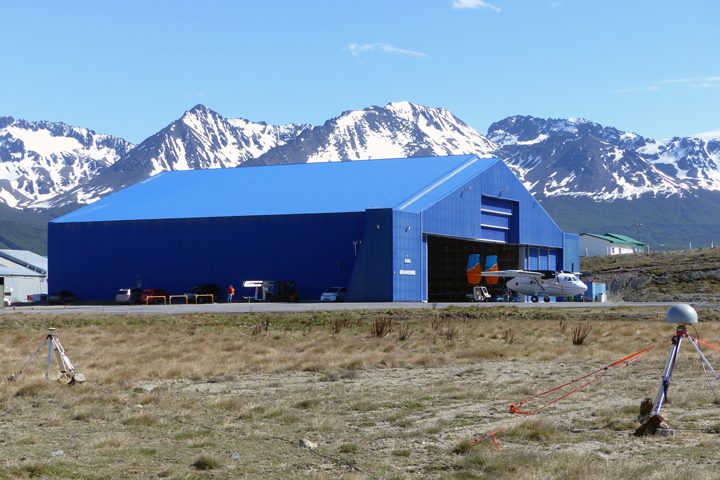
The hangar in Ushuaia. The P-3 is on the ramp south of this image (not pictured). Photo by Kathryn Hansen.
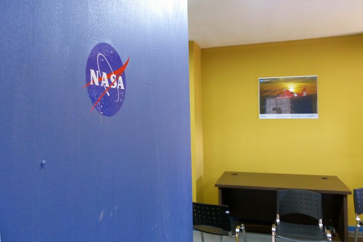
On a no-fly day, the office in the hangar is sparsely populated. Photo by Kathryn Hansen.
In the meantime, many took a break from nearly non-stop work for a quick camping trip. I caught up with a group that needed to use the spare time to install the magnetic ground station. This is essentially a point on the ground where the magnetic field is known. Flying over that point gives researchers the information—ground-truth—that allows them to make corrections in the data collected inflight by the magnetometer.
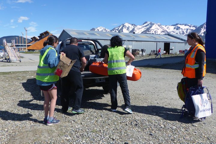
The gravity and magnetics team loads gear into the truck. Photo by Kathryn Hansen.
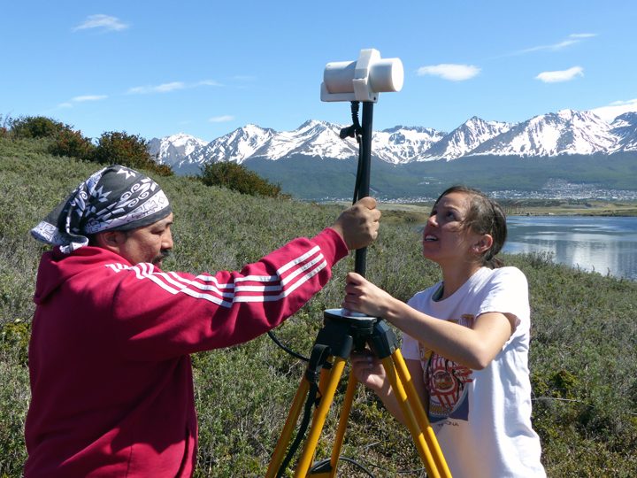
Katrina Zamudio of USGS (right) installs the magnetic ground station. Photo by Kathryn Hansen.
On our way back to the hangar, our kind escort gave us a tour of airport grounds and the shores of the Beagle Channel, where we did some beachcombing. It’s back to work tomorrow!
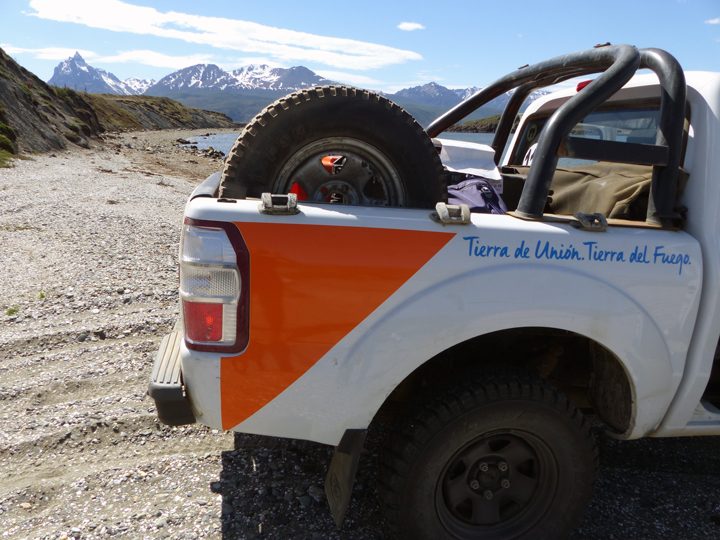
On our way back to the airport we made a quick detour for a closer look at the shoreline. Photo by Kathryn Hansen.

Shells crunched under our feet as we walked on the beach. Photo by Kathryn Hansen.


This is so cool! Thanks for posting – I’m envious of your opportunity, and look forwad to more entries.
So happy to read your comments. Yes, indeed the ice, mountains are thrilling to see and walk on. My husband and myself visited 90 degrees south on Jan. 7, 1996, with a group from Harvard. Too, we visited 90 degrees North in 1995. Enjoy your time there !
Be careful. 🙂