Pine bark beetles have been ravaging forests in the Rocky Mountains.
Published Jul 28, 2012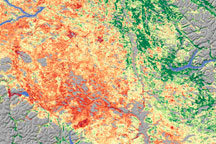
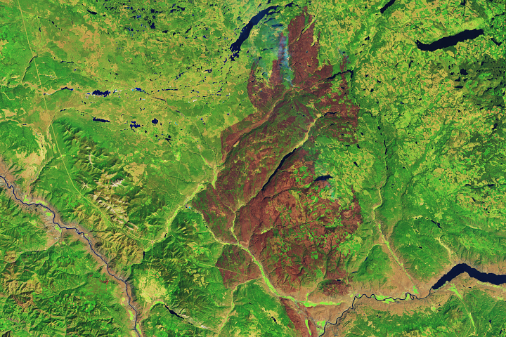
As the size of British Columbia’s pine beetle infestation has grown, forest managers have begun to need a technique to identify damage over large areas. Relying on a variety of data sources, including satellite data, scientists from Goddard Space Flight Center conducted a survey of insect-damaged forests in British Columbia. This image shows their assessment of insect damage overlain on a topography map.
Published Dec 19, 2008
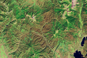
In British Columbia’s Coast Mountains, some 200 kilometers (125 miles) inland from the Pacific Ocean, rivers and lakes cut tortuous paths through rugged terrain. The peaks and valleys in this region are covered with forest, but the forest has changed over the years due to human use and insect pests, in particular, the mountain pine beetle.
Published Oct 12, 2008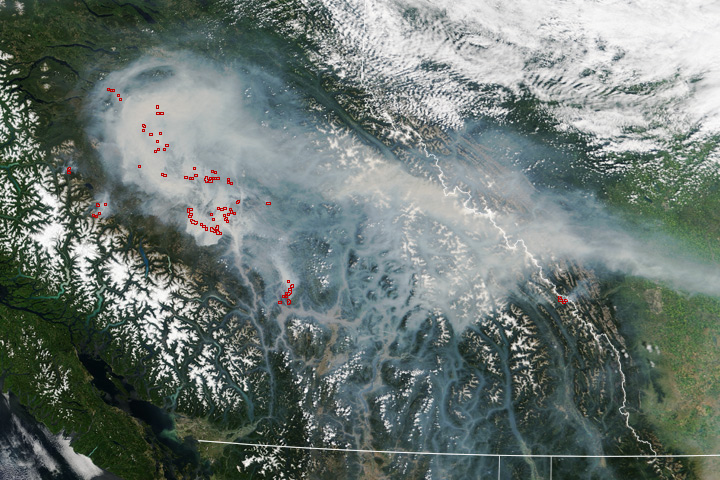
Dry weather, stressed forests, and lightning fueled several dangerous wildfires.
Published Jul 20, 2017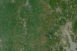
Dry weather in the Northeast has triggered an explosion in the populations of gypsy moth caterpillars, which are voracious eaters of forest canopies.
Published Jul 15, 2016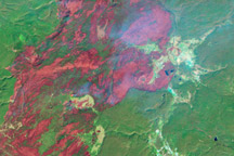
In 1988, wildfires raced through Yellowstone National Park, consuming hundreds of thousands of acres. This series of Landsat images tracks the landscape’s slow recovery through 2008.
Published Jul 1, 2009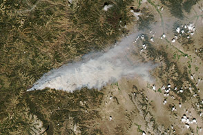
A lightning-sparked fire has burned nearly 20,000 acres of the Salmon-Challis National Forest in Idaho.
Published Aug 3, 2012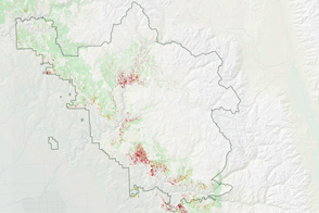
Mass tree die-offs in California’s Sierra Nevada mountains are sparking worries of fire in the region.
Published Jul 20, 2016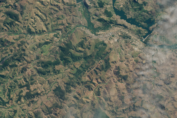
A twenty-year effort to plant millions of trees in Minas Gerais is visible to Landsat.
Published Jul 23, 2019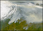
Time transforms the ranges in the southern Appalachian Mountains through the course of a year.
Published Jan 14, 2014
The fire is tearing through pine forests in mountainous terrain on the second most populous of the Canary Islands.
Published Aug 20, 2019Image of the Day Atmosphere Heat Land Human Presence Remote Sensing
A wildfire that has burned since July has charred a large swath of forest near Kamloops.
Published Aug 24, 2017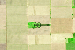
A labor of love in the Argentine Pampas becomes a work of art for the planet.
Published Apr 27, 2014
A patchwork of evergreen and deciduous forest has been a boon to research, outdoor recreation, and logging.
Published Feb 10, 2013
Forests in drylands are much more extensive than previously reported.
Published Aug 10, 2017
A large burned area that is part of the Terrace Mountain Fire near Okanagan Lake is visible beneath patchy clouds in this natural-color iamge from August 9, 2009.
Published Aug 13, 2009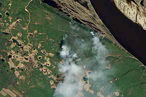
Needle-leaf forest stretches away from the Lena River in Russia’s remote eastern reaches. The EO-1 satellite captured these images just as fire swept through the area.
Published Jun 17, 2011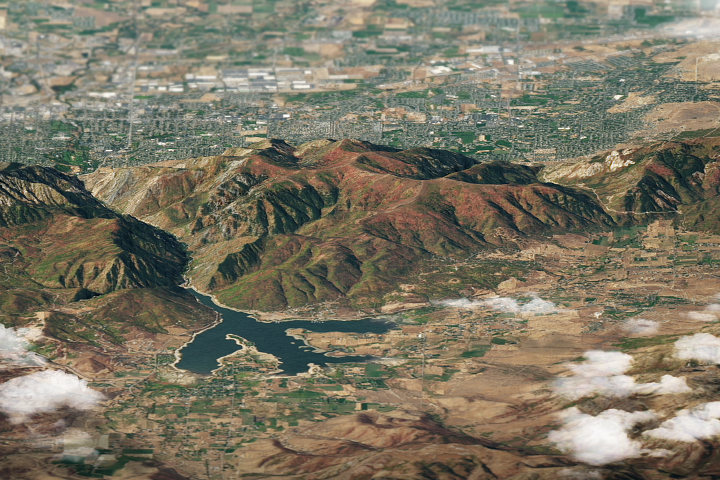
Deciduous trees in northern Utah paint the mountains in shades of red, orange, yellow, and purple.
Published Oct 15, 2018
New analysis gives a clearer picture of changes to a forest landscape.
Published Mar 8, 2017
A small plane flying low over remote forests is sending back eye-popping aerial photography—as well as scientific measurements that will improve understanding of how Alaska’s forests are responding to global warming.
Published Jul 25, 2014
By changing a percentage, institutions can take some forested lands off the map.
Published Dec 18, 2015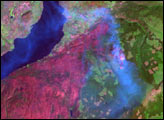
alert message
