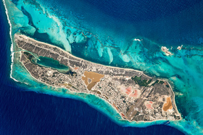
Much of the land surface is covered by salt evaporation ponds and a saline lake known as Town Pond, around which the capital—Cockburn Town—developed.
Published Mar 20, 2017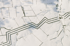
Shelterbelts, or wind breaks, are used to protect and preserve farmland in southern Russian.
Published Mar 13, 2017
Millennia of human development stand alongside mainland Europe’s only active volcano.
Published Mar 6, 2017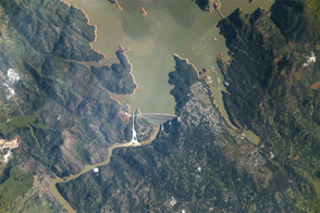
The International Space Station got a view of the overflowing dam.
Published Mar 3, 2017
The usually dry, inland lake in Australia came alive with color after flood waters arrived in the late summer of 2017.
Published Feb 27, 2017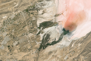
Salt and algae lend color to the bed of this desert lake in Iran.
Published Feb 20, 2017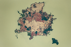
Ancient monasteries and settlements dot these islands in the middle of Ethiopia’s largest lake.
Published Feb 13, 2017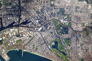
Australia’s second-largest city has an historic past.
Published Feb 6, 2017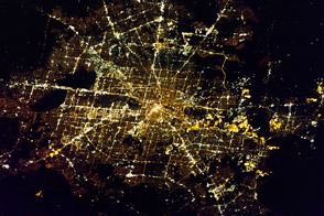
Astronauts on the Space Station had a glowing view of their professional home, as well as the site of Super Bowl 51.
Published Feb 4, 2017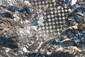
Lands along the Priest River show a human hand at work.
Published Jan 30, 2017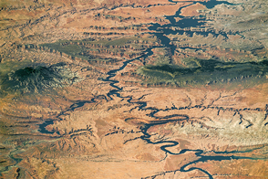
One of the largest reservoirs in the United States stands alongside one of the largest national monuments.
Published Jan 23, 2017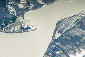
This lagoon along the Brazil-Uruguay border formed when sea level was much higher, and has since evolved from a marine to freshwater lake.
Published Jan 16, 2017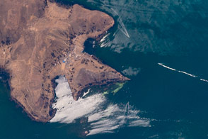
An astronaut photographed the interplay of light and wind on South America’s largest lake.
Published Jan 9, 2017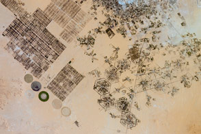
Different farming patterns mark various attempts to grow crops on the dry North African landscape.
Published Jan 2, 2017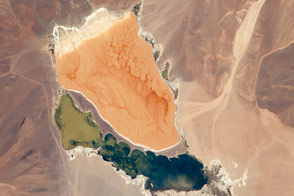
Salt and wind have painted a colorful, swirling landscape in the highlands of central Chile.
Published Dec 26, 2016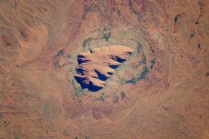
This ancient rock is one of Australia’s major tourist attractions and a sacred place for indigenous people.
Published Dec 19, 2016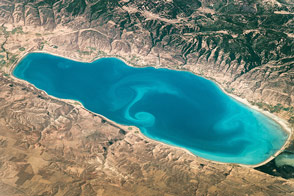
Situated on the Idaho-Utah border, it is one of the bigger lakes in the Rocky Mountains.
Published Dec 11, 2016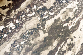
Hundreds of lakes and ponds dot this inland delta in Argentina.
Published Dec 5, 2016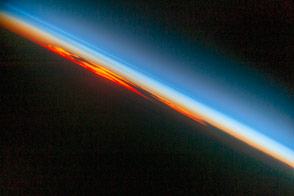
Thin layers of lighter and darker blues reveal the many layers of the atmosphere.
Published Nov 28, 2016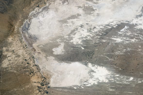
These white mounds are the world’s largest gypsum dune field, centerpiece of the White Sands National Monument.
Published Nov 27, 2016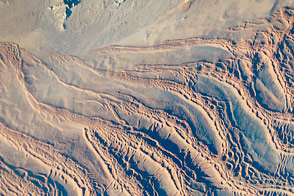
Dunes grow upon dunes at one of the most visually spectacular places on Earth, at least from an astronaut’s perspective.
Published Nov 21, 2016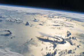
Thunderhead anvils stretch out in three dimensions against the thin blue envelope of the atmosphere.
Published Nov 14, 2016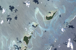
The shallow seas allow us to see vivid details of how waves, winds, and tides shape the islands.
Published Nov 7, 2016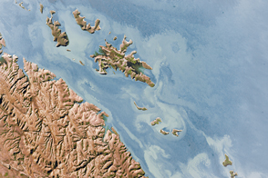
Once clouds have cleared away, the effects of major storms often can be viewed from space for days and weeks.
Published Oct 31, 2016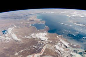
The inland sea in Central Asia has a host of distinctive features along its shores.
Published Oct 24, 2016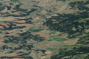
The dark, pine-covered slopes rise up from the Great Plains like an island from a sea of grass.
Published Oct 23, 2016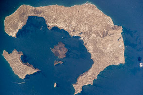
The islands of this tourist mecca are actually the rim of an old volcano.
Published Oct 17, 2016
Parts of the Glen Canyon that John Wesley Powell explored in 1869 have been submerged by Lake Powell.
Published Oct 16, 2016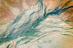
These wide Australian floodplains are unique on the planet. Scientists think they are caused by the extreme variation in water and sediment discharges from the local rivers.
Published Oct 10, 2016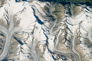
Great Aletsch in Switzerland is the largest glacier in Europe.
Published Oct 3, 2016