
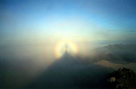
Why is our satellite mission named “Glory”? I can give you an explanation based on this short movie, which I captured from a downward looking camera on the B-200 during a recent flight.
While descending for landing, we encountered a cloud deck, and I received a clue for what, in geek terms, we call a scattering angle of 180 degrees, or backscattering direction (in this case, the scattering angle is the “Sun – point on cloud – me” angle).
In other words, I noticed the aircraft shadow on the clouds.
[youtube ddd5CUizyto 468]
A glory captured by the NASA B-200 downward looking camera on June
5th, 2010.
Sun beams entering a cloud droplet are internally reflected, sort of like balls in a circular pool table. Some of them exit the droplet after one of these reflections, to form the regular rainbow (or “cloudbow” in this case, barely visible on the left of the frames).
Others take a few more bounces. Those that exit the droplet in the same direction they came from form a small circular rainbow called a Glory, whose features are enhanced when observed in polarized light. The prism “color-splitting” effect, as for the primary rainbow, is due to the slightly different deflection angles that different colors take when crossing the interface between air and water (or, for all that matters, between any two media with different refractive indices).
It is good practice to always search for the Glory. An ideal chance occurs when you fly over clouds, but remember that only your ability to see the airplane shadow will tell you if you chose the right seat. In proximity of the shadow, the alignment between you and the Sun is appropriate to make sure that the Sun beams are returned to you straight back by the cloud droplets.
For those scared who are scared to fly, yet are avid hikers, pay attention if you find yourself between the Sun and a fog or cloud bank. The multicolor crown developing around the shadow of your head can make you a saint, and gave name to this glorious optical phenomenon. Hallelujah!
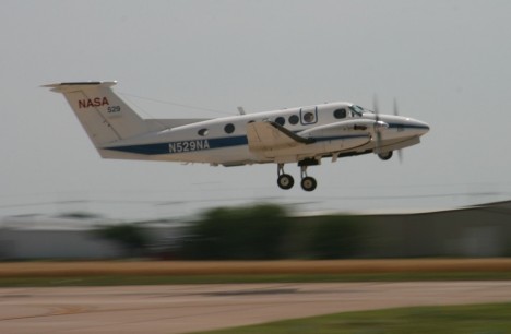
There’re two instruments on the Beech King Air B200. One is the HSRL, which stands for High Spectral Resolution LIDAR. The latter word is an acronym born out of the marriage between RADAR and LASER. Even Radiohead use it. The one mounted on the B200 is an advanced device that my colleagues at NASA Langley have been extensively deploying. It pulses a laser beam straight downwards, and records the time it takes for light to come straight back after it bounces off particles. Based on this information, the atmosphere below the airplane is profiled and the height of aerosols layers effectively located.

The Research Scanning Polarimeter (RSP) is somewhat weirder, as polarization is a kind of information that is greatly masked to humans’ vision capabilities. Ask bees. If you wear sunglasses though, you should know that they cut the glare because they filter out light waves oscillating in all directions other than that vibrating in a certain direction.
Light is a wave, but most instruments can only measure the amplitude (=intensity) of it. Instead, the RSP adds to it by recording at which angle the light wave vibrates. As you can expect, the change of this angle as a light wave scatters off a a particle is extremely sensitive to the size and shape of the particle.
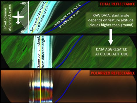
We hope we can exploit the synergy between these two instruments to nail the vertical distribution and nature of aerosols in the atmosphere. Our studies confirm the potential of integrating the information derived by the complementary capabilities of the two instruments, sort of “Tell me where you are, and I’ll tell you who you are”.
Why do we do this? These instruments are “the little brothers” of the CALIPSO LIDAR (already in space), and the polarimeter that will be launched onboard the Glory mission at the end of this year. These satellites will fly shoulder by shoulder (just a few seconds apart!), therefore observing at any instant the same scene. You can even have your name orbiting with us!
-Matteo
Today is a hard down day, long due after intense work around the aircraft and the two flights of yesterday. Things are definitely getting dirtier, and we started observing a decent amount of aerosols all along our flight trajectories.

I stitched this panorama of the McClellan airfield in between the two flights (2: 15 pm local time). On the extreme left, the tail of a 747, then that of a DC-8. Sometimes things just don’t fit right.
At right, the NASA King Air B-200 and the Department of Energy G-1 aircraft under careful maintenance of a member of the crew (“Wax on, wax off”). Note the sniffing tools (in gold color) close to the nose of the aircraft. Yummm…aerosols.
You can also see the presence of high cirrus clouds, not common in this season here in Sacramento. I’d much prefer not having them since they veil the Sun, which should instead shine unobstructed to guarantee a perfect interpretation of my polarimeter’s data (more about it in the next post).
-M.
There’s always a lot of people thanking each other in a campaign, but today the crew, the pilots, and whoever up there is responsible for good weather deserves all my kudos. I normally don’t get to sit on the airplane, as our instrument works as a Swiss clock and we prefer to save fuel to pull longer flight legs. Today the circumstances were atypical and I got to board, curiously on the day of the one-year anniversary form my previous flight, during the RACORO campaign in Oklahoma.
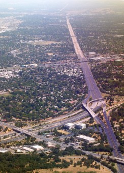
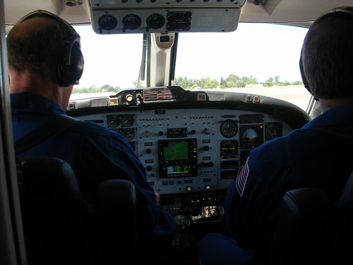
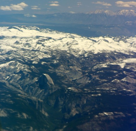
Touristic companies would have a hard time to match the quality of this Tour of California (and I didn’t have to pay for it). I have to share these pictures, although their quality doesn’t speak enough of the true beauty of the sight. In my partial defense, I must say that the small B200 is extremely crammed and taking a good shot requires leaning over the pilots, which is not something you want to do too often (all other windows are partially darkened).
The route led us South of Sacramento along the San Joaquin valley, majestically shouldered by the Sierras still loaded with late spring snow.
Fresno marked our big right turn toward the coast, right about when we spotted a small fire in the San Benito region.
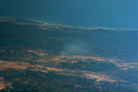
The flight plan required overpassing some ground stations at NASA Ames and in Monterey, so we were absolutely forced to come back along the Big Sur. Absolutely. It truly is a glorious coastline with surf clearly visible even from a 9km altitude. Cloud banks were innocuously looming from the ocean, a single tongue of fog daring to come further right there where it should be.
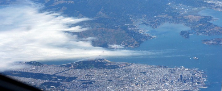
The final stretch was over the valleys of Napa and Sonoma, and shortly before touchdown over the only cloud bank the plane had to overfly.
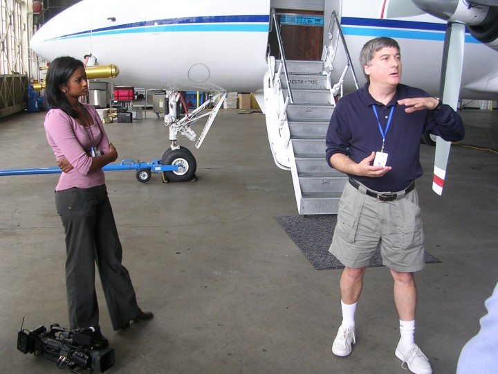
I finally want to mention that yesterday was also “media” day. Here and here is what came out of it. By the way, if you happen to watch the videos, you should note that even if Rahul investigates scientific principles, that doesn’t make him a “principle investigator” as the banner reports. He’s the “principal investigator”. Don’t mean to brag too much about it, it’s just a matter of principle. Since we’re at it, measuring the composition of particles requires a “spectrometer” rather than an “aspectrometer”. Well, in a way we’re measuring the aspect of particles.
-Matteo
