
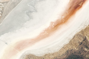
As water levels drop in the Dead Sea, salt is piling up on the lakebed.
Published Jul 31, 2019
Colorful, mineral-rich salt flats are nestled between the Promontory Mountains and the Great Salt Lake.
Published Oct 4, 2020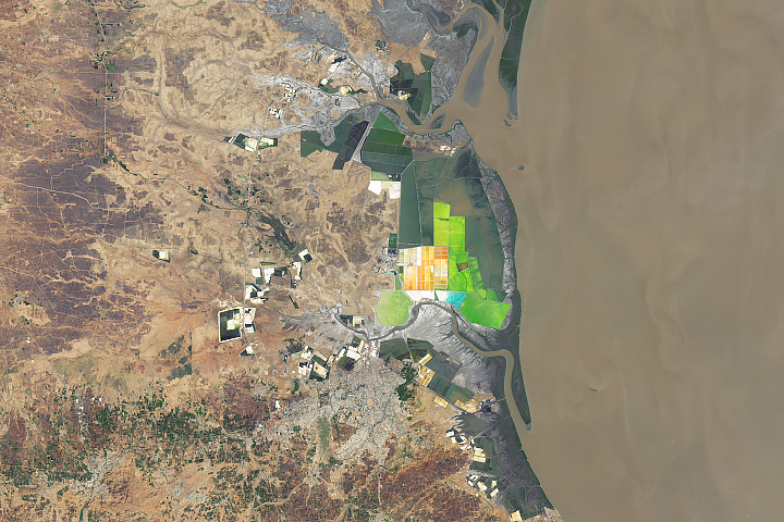
The west-central state of Gujarat accounts for nearly three-quarters of India’s annual salt production.
Published Oct 21, 2019
One of the largest salt pans in the world spreads across northern Botswana, offering critical seasonal oases for mammals and birds.
Published Jul 7, 2018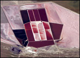
This detailed astronaut photograph shows the salt ponds of one of Africa’s major producers of soda ash (sodium carbonate) and salt. Soda ash is used for making glass, in metallurgy, in the detergent industry, and in chemical manufacture. The image shows a small part of the great salt flats of central Botswana known as the Makgadikgadi Salt Pans.
Published May 13, 2007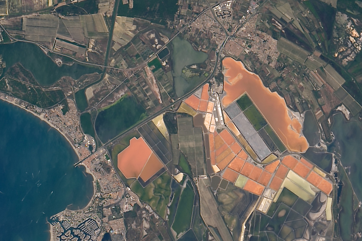
The salt produced from tidal marshes in southern France is the product of ideal climate conditions and careful management.
Published Apr 4, 2019
The rocks of Dasht-e Kavir tell tales of a much wetter environment millions of years ago.
Published Feb 17, 2013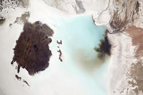
The colorful salt flat is a product of mineral-rich waters and a dry, flat landscape.
Published Oct 8, 2012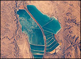
The complex of Jordanian salt evaporation ponds at the southern end of the Dead Sea has expanded significantly over the past dozen years. The western margin of the salt ponds marks the Jordan-Israel border. In August 1989, when the crew of Space Shuttle mission STS-28 photographed the region, the northern extension did not exist and the large polygonal ponds in the northwestern and northeastern sectors had not been subdivided. In the view taken by the STS-102 crew in March 2001, one can see that there has also been expansion at the southeastern end, and that levees now segment the northeastern wedge into four ponds.
Published May 13, 2001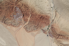
In this active tectonic environment, salt squeezes through faults in the rock until it reaches the surface and flows like a glacier.
Published Oct 25, 2015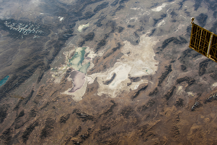
From the vantage point of the ISS, landscape patterns reveal the intermingling of older geologic formations and more recent landforms in this region.
Published Feb 25, 2018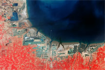
China’s Bo Hai coast is one example of the rapid expansion of aquaculture in the late twentieth century.
Published Feb 8, 2009
Southeastern Iran is home to numerous salt domes and salt glaciers, which have been built over time by the movement of Earth’s crust.
Published Nov 13, 2017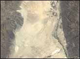
Salt and algae color the landscape and water around this marsh that lies below global sea level.
Published Jun 11, 2012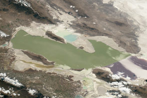
The lake and surrounding landscape are characterized by many flavors and mixtures of salt.
Published Feb 1, 2016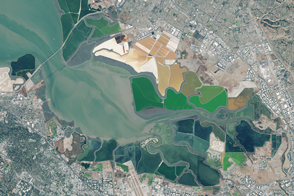
An ambitious project in South San Francisco Bay is designed to restore wetlands and marshes, as well as the species that go with them.
Published Feb 11, 2016
In the Jordan rift valley, the continents of Africa and Asia are pulling apart from each other, and the land in between has been subsiding for millennia. The sinking has created the Dead Sea.
Published Dec 25, 2005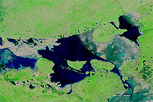
Acquired September 23, 2010, and September 23, 2009, these false-color images show changes in water levels along the coastlines of Pakistan and India following the 2010 monsoon floods.
Published Sep 24, 2010
Colliding water masses left winding lines of foam on this super salty lake in Turkmenistan.
Published May 18, 2017
Sometimes the slow grind of plate tectonics can determine where and when lakes exist.
Published Apr 24, 2019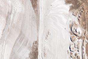
One of the world’s largest salt flats sits atop the high plateau of northwest Argentina.
Published Jun 28, 2014