
Reservoirs, lakes, and mountainsides are brimming with water and snow, though scientists caution that underground aquifers are a long way from having the same bounty.
Published Apr 21, 2017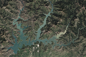
After four years of shrinking due to drought, the largest reservoir in California got a much-needed boost from El Niño-fueled winter precipitation.
Published Apr 7, 2016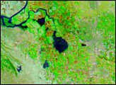

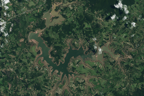
For more than 100 years, groups in the western United States have fought over water. During the 1880s, sheep ranchers and cattle ranchers argued over drinking water for their livestock on the high plains. In 1913, the city of Los Angeles began to draw water away from small agricultural communities in Owen Valley, leaving a dusty dry lake bed. In the late 1950s, construction of the Glen Canyon Dam catalyzed the American environmental movement. Today, farmers are fighting fishermen, environmentalists, and Native American tribes over the water in the Upper Klamath River Basin. The Landsat 7 satellite, launched by NASA and operated by the U.S. Geological Survey, documented an extreme drought in the area along the California/Oregon border in the spring of 2001.
Published Sep 8, 2001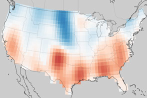
Groundwater supplies are decreasing across much of the world.
Published Nov 1, 2013
Natural vegetation and irrigated farmland along the Snake River Plain in Idaho use dramatically different amounts of water during the growing season.
Published Jan 26, 2010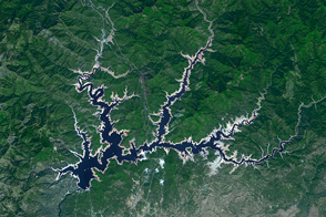
The Golden State’s largest reservoir has warmed and become depleted over the past decade.
Published Jun 26, 2015
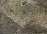
An arid region grew even drier between 2003 and 2009 due to human consumption of water for drinking and agriculture.
Published Mar 13, 2013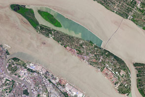
The fast-growing city has polluted waterways and a growing demand for clean tap water.
Published Apr 11, 2017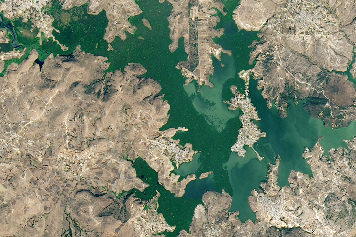
A new study found that the abundance of these floating plants has increased due to urbanization.
Published Sep 2, 2020
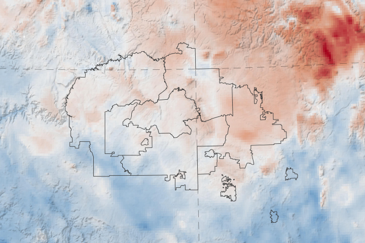
A new web tool designed by NASA applied scientists could help the tribe anticipate and respond to drought.
Published Apr 20, 2020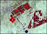
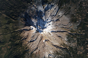
Mount Shasta is usually snow-capped. But this winter, it is a lot more brown than white, as drought deepens in California.
Published Jan 17, 2014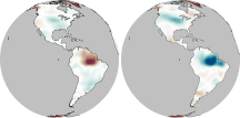
In much of the world, differences in seasonal precipitation—and in how that water gets stored on land—are big enough to affect Earth’s gravity field.
Published Oct 22, 2010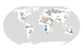
About one third of Earth’s large groundwater basins are being rapidly depleted by human consumption even though we have little accurate data about how much water remains in them.
Published Jul 24, 2015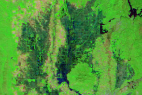
Water flowed into Yolo Bypass, a floodway between Davis and Sacramento, for the first time in three years.
Published Mar 19, 2016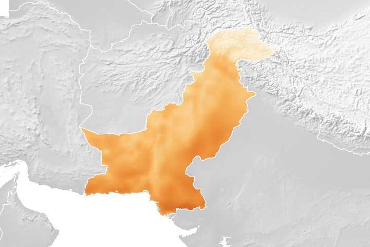
A project using NASA satellite data helps reduce overwatering and enhances crop yields for Pakistani farmers.
Published Oct 18, 2018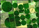
Satellite imagery shows reservoirs still perilously low in the midst of Brazil’s rainy season.
Published Mar 7, 2015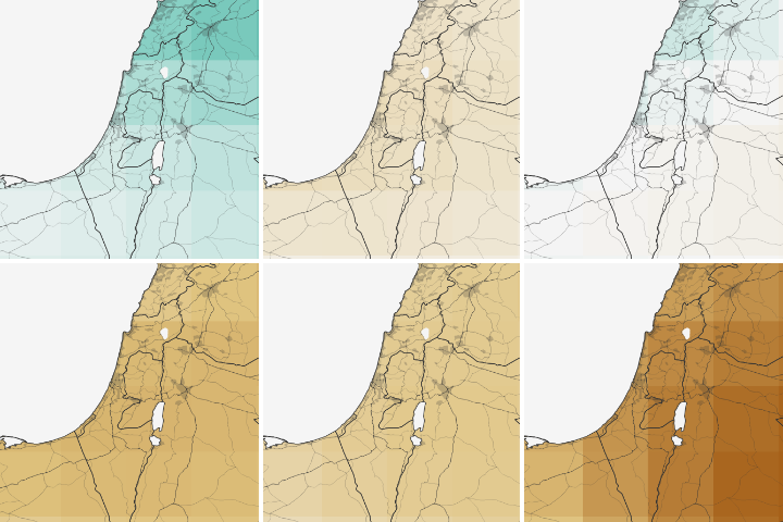
Water shortages in the Middle East lead to sanitation issues in schools, resulting in periodic school closures. NASA is working to change that.
Published Jul 27, 2018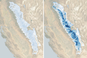
The water stored as snow in the 400-mile long range is now 185 percent of normal for the beginning of March.
Published Mar 3, 2017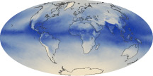
The tiny amount of water vapor in our atmosphere has an outsized influence on the planet as a potent greenhouse gas.
Published Oct 7, 2010