
A series of storms has redistributed the sand and the so-called "Shelly Island" is no longer an island.
Published Mar 8, 2018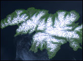
Attu Island is so far west, it’s actually in the Eastern Hemisphere. It is the westernmost of Alaska’s Aleutian Islands, even farther west than the Hawaiian Islands.
Published Jul 5, 2006
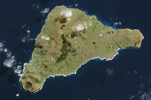
The most interesting geology lies just offshore and below the water line of this Northwest Australian island.
Published Aug 3, 2015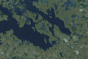
An unnamed isle in Canada’s Nunavut Territory is the leading contender for this island superlative.
Published Feb 22, 2015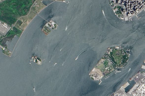
A pair of modest oyster flats turned into two of most important islands in the United States.
Published Mar 20, 2016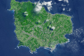
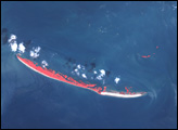
A 35-square-kilometer island rises from the Pacific Ocean about 1,400 kilometers from the Australian mainland.
Published May 23, 2015
This photo-like image of Chincoteague Island and the southern section of Assateague was acquired by the IKONOS satellite on June 27, 2001.
Published Oct 28, 2008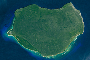
The small Puerto Rican island is a natural reserve that has been nicknamed the “Galapagos of the Caribbean.”
Published Feb 28, 2016
The island once looked very different from how it does today.
Published Apr 16, 2017
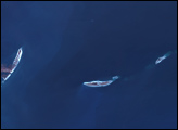
The ghostly white shapes northeast and immediately southwest of Wrangel Island are sea ice. Over the course of the satellite record, Arctic sea ice has advanced and retreated past Wrangel Island many times. From 1979 to 2000, the sea ice edge at the end of summer generally fell somewhere in the vicinity of Wrangel Island, but this is not the first summer when the sea ice edge has retreated well north of the island.
Published Aug 29, 2008
In the western Pacific Ocean, a new volcanic island that formed in the shadow of Nishino-shima has merged with it. The island has doubled in size as the eruption continues.
Published Apr 4, 2014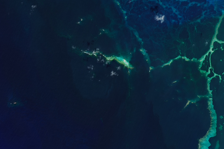
A powerful hurricane wiped away a remote island in the Hawaiian chain.
Published Dec 7, 2018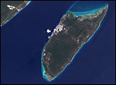

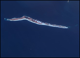
This natural-color image shows Henrietta Island, with a smooth, dome-capped surface and a rugged coastline, illuminated by low-angled sunlight.
Published May 3, 2009