Record-setting rainfall in the southern United States has sent several rivers and lakes over their banks and caused extensive damage in Texas, Oklahoma, Arkansas, and other areas.
Published May 29, 2015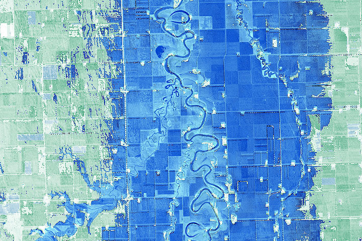
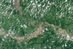
Geography and a prolonged period of wet weather have made flooding common on this river in the Northern Plains.
Published Apr 21, 2020Image of the Day Land Water Floods Human Presence Remote Sensing
Held in place by reinforced levees, the swollen Red River snakes through Fargo, North Dakota, and Moorhead, Minnesota, in this image captured by the Advanced Land Imager on the EO-1 satellite on March 28, 2009.
Published Mar 31, 2009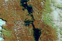
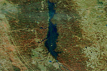
Acquired May 7, 2011, and May 14, 2010, these false-color images compare conditions along the Red River of the North.
Published May 10, 2011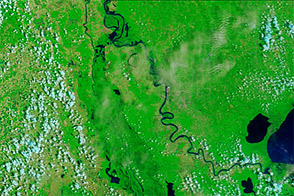
Acquired June 8, 2011, and June 9, 2010, these false-color images compare conditions along the Mississippi and Atchafalaya Rivers in Louisiana.
Published Jun 9, 2011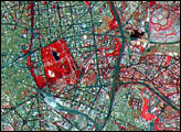
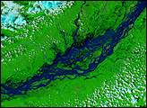
Acquired April 14, 2011, and March 18, 2011, these false-color images show conditions along the Red River in North Dakota, Minnesota, and Manitoba.
Published Apr 18, 2011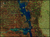
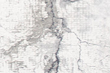
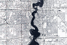
This photo-like image shows extensive flooding on the Red River near Fargo, North Dakota, on March 28, 2009 as the river reached a record high of 40.82 feet.
Published Mar 30, 2009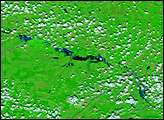
alert message
