The smaller Arabian plate plunges beneath the Eurasian plate where the two collide in the Middle East. As the Eurasian plate descends, quakes can occur deep below the surface.
Published Apr 17, 2013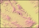
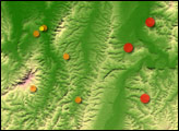
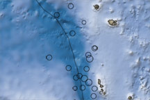
This color-coded map shows the topography, bathymetry, fault lines, and earthquake locations related to earthquakes in New Britain on July 18–19, 2010.
Published Jul 20, 2010
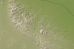
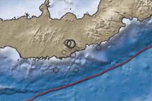
This map shows the region surrounding the earthquakes that occurred near Vanuatu on October 7 and 8, 2009. Ocean water appears in shades of blue, and land areas appear in shades of brown. Circles mark earthquake locations, and a black line marks the tectonic plate boundary.
Published Oct 9, 2009
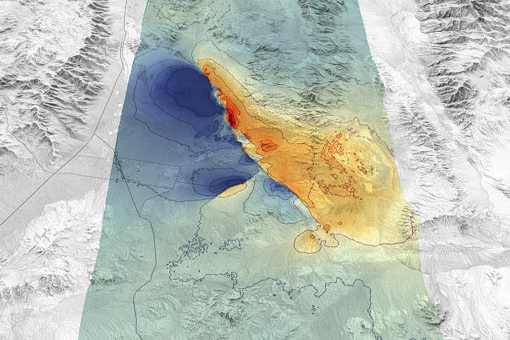
Remote sensing scientists are getting better at measuring such events and showing how they disrupt and move the land surface.
Published Jul 25, 2019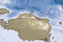
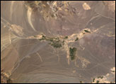
In the early morning hours of January 4, 2009, a pair of powerful earthquakes rattled Papua, Indonesia.
Published Jan 10, 2009