Landsat caught a rare glimpse of the third-largest Aleutian Island.
Published Oct 20, 2017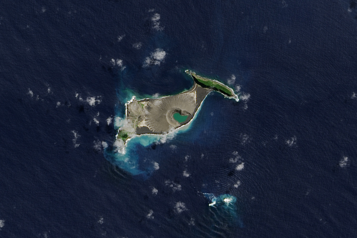
Hunga Tonga-Hunga Ha'apai is likely to persist for years, maybe decades.
Published Dec 11, 2017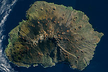
Acquired on on May 5, 2009, this true-color image shows Marion Island in the Indian Ocean. Sparsely vegetated, this volcanic island has remnants of snow near its summit.
Published Oct 18, 2009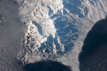
This astronaut photograph shows the southern end of Paramushir Island after a snowfall. Four volcanic centers are brightly lit on their western slopes and deeply shadowed to the east.
Published Jul 12, 2010
In the western Pacific Ocean, a new volcanic island that formed in the shadow of Nishino-shima has merged with it. The island has doubled in size as the eruption continues.
Published Apr 4, 2014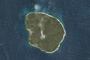
Nishinoshima has grown to twelve times its original size.
Published Nov 29, 2015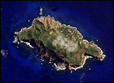
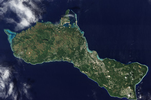
Fields, forests, military bases, and settlements all mix on this U.S. territory in the tropical Pacific, and coral reefs fringe the island.
Published Feb 19, 2012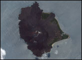
Nishinoshima spews a plume of ash and gas, part of an ongoing eruption that continues to increase the size of the small island.
Published Mar 5, 2015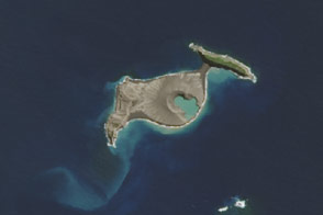
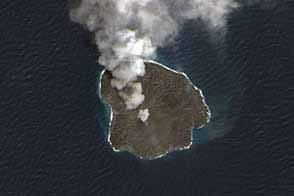
The eruption of an undersea volcano gave rise to new real estate between two islands in the kingdom of Tonga.
Published May 3, 2015
An undersea eruption at Lateiki Island in late October 2019 has brought new life to an older island in the Tonga chain.
Published Nov 26, 2019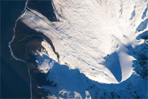
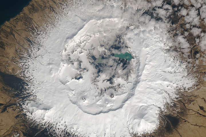
This detailed astronaut photograph shows Big Ben Volcano on Heard Island, north of Antarctica, including Mawson Peak and the Gotley and Lied Glaciers.
Published Mar 16, 2009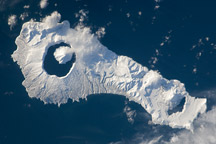
Snow cover highlights the calderas and volcanic cones that form the northern and southern ends of Onekotan Island, part of the Kuril Island arc.
Published Jan 24, 2011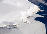
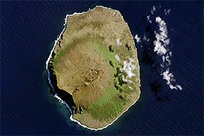
Bouvet Island is known as the most remote island in the world; Antarctica, over 1600 kilometers (994 miles) to the south, is the nearest land mass. Located near the junction between the South American, African, and Antarctic tectonic plates, the island is mostly formed from a shield volcano—a broad, gently sloping cone formed by thin, fluid lavas—that is almost entirely covered by glaciers.
Published Oct 6, 2008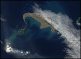
This distant, lonely volcanic rock brings new meaning to the phrase “the middle of nowhere.”
Published Dec 19, 2015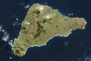
The island once looked very different from how it does today.
Published Apr 16, 2017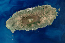
Cheju Island is an oval-shaped volcanic landmass off the southern tip of the Korean Peninsula. The island’s dominant feature is Halla Mountain, a volcano that has been dormant since the early eleventh century.
Published Nov 16, 2008