
Since the mid-1200s, the state has controlled Niepołomice Forest, which contains some of the last pockets of old-growth forest in Poland.
Published Nov 29, 2013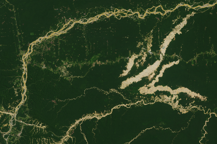
The Madre de Dios region has a rich concentration of endemic species, but their habitats are being threatened by human activity.
Published Apr 19, 2019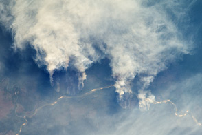
This astronaut photograph illustrates slash-and-burn forest clearing along the Rio Xingu (Xingu River) in the state of Matto Grasso, Brazil.
Published Oct 10, 2011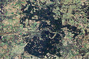
To celebrate Earth Day, Earth Observatory released a series of five puzzlers. Except for Thetford forest, all showed landscapes relatively untouched by human society.
Published Apr 27, 2013
Although forest clearing for pasture is the primary driver of Amazon deforestation in the state of Mato Grosso, Brazil, a new study led by scientists at the University of Maryland showed that large-scale mechanized agriculture, mostly for soybeans, is rapidly becoming a major force behind forest loss in the region.
Published Sep 21, 2006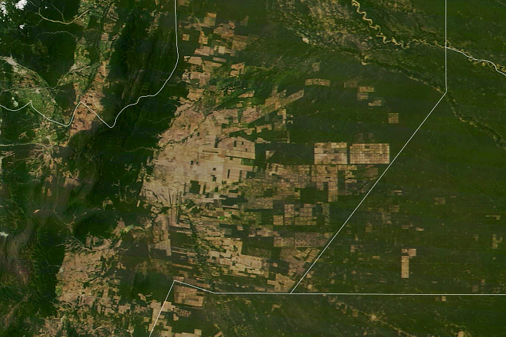
South America’s second-largest forest has been experiencing rapid tree losses in recent decades.
Published May 20, 2020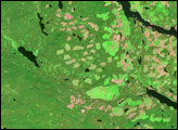
In British Columbia’s Coast Mountains, some 200 kilometers (125 miles) inland from the Pacific Ocean, rivers and lakes cut tortuous paths through rugged terrain. The peaks and valleys in this region are covered with forest, but the forest has changed over the years due to human use and insect pests, in particular, the mountain pine beetle.
Published Oct 12, 2008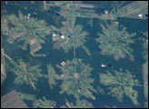
The area east of Santa Cruz was originally dry tropical forest.
Published May 27, 2001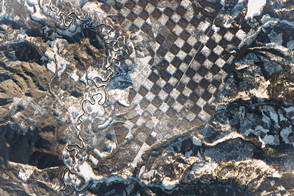
Lands along the Priest River show a human hand at work.
Published Jan 30, 2017
By changing a percentage, institutions can take some forested lands off the map.
Published Dec 18, 2015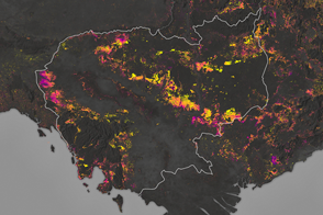
Forests are being turned into rubber plantations, farmland, and timber at a rapid rate.
Published Jan 10, 2017
Political change in Eastern Europe and Russia has left its mark on forests in the region.
Published Jul 16, 2015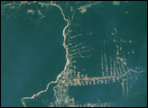
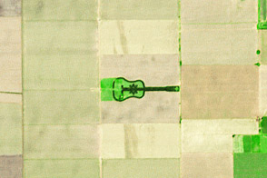
A labor of love in the Argentine Pampas becomes a work of art for the planet.
Published Apr 27, 2014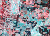

Differences in how international and national institutions classify forests can lead to large discrepancies in measurements of land cover.
Published Nov 17, 2015
In 2007, the Amazon fire season was the worst of this decade. This pair of images shows deforestation and the smoke from intense fires in the 2007 dry season in northwest Rondônia, Brazil.
Published May 28, 2009