
By changing a percentage, institutions can take some forested lands off the map.
Published Dec 18, 2015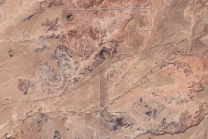
Acquired November 28, 2002, this true-color image shows an arid landscape in eastern Arizona. At the time of the earliest dinosaurs, it was a moist, tropical region near the equator.
Published Oct 4, 2009
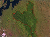
Since the mid-1200s, the state has controlled Niepołomice Forest, which contains some of the last pockets of old-growth forest in Poland.
Published Nov 29, 2013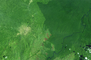
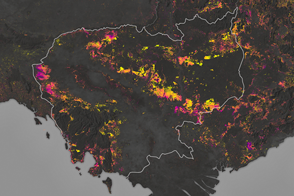
Landsat observed the loss of 3.7 million hectares (14,000 square miles) of tropical forest.
Published Sep 26, 2012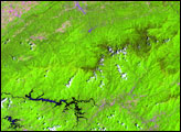
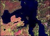
In British Columbia’s Coast Mountains, some 200 kilometers (125 miles) inland from the Pacific Ocean, rivers and lakes cut tortuous paths through rugged terrain. The peaks and valleys in this region are covered with forest, but the forest has changed over the years due to human use and insect pests, in particular, the mountain pine beetle.
Published Oct 12, 2008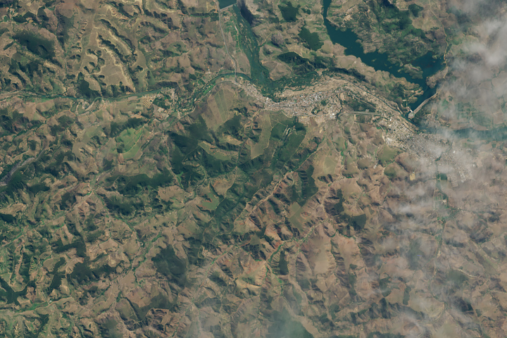
A twenty-year effort to plant millions of trees in Minas Gerais is visible to Landsat.
Published Jul 23, 2019
The opening of the Landsat data archive and a partnership with Google has allowed researchers to track the fine details of forest change around the world.
Published May 7, 2015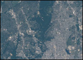
Forests are being turned into rubber plantations, farmland, and timber at a rapid rate.
Published Jan 10, 2017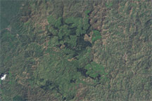
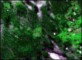
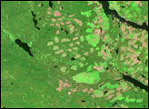
Gishwati Forest suffered severe deforestation, evident in these true-color images.
Published Jun 9, 2009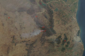
Several fires burned in the forested corridor of national parks and wildlife preserves in India’s Andhra Pradesh state.
Published Mar 24, 2014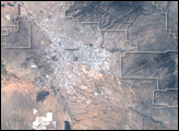
The park encompasses about 37,000 hectares of the Sonora Desert.
Published Jul 24, 2005alert message
