
Remote sensing scientists are getting better at measuring such events and showing how they disrupt and move the land surface.
Published Jul 25, 2019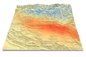
Using satellite radar sensors, scientists have been able to detect the rising and falling of the landscape in the Himalayas caused by the Gorkha earthquake.
Published May 14, 2015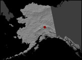
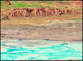
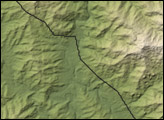
A long valley reveals the location of the Enriquillo-Plaintain Garden Fault in southern Haiti, the site of a deadly earthquake in mid-January 2010.
Published Jan 14, 2010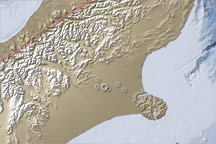
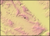
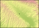
This topographic map of the South Island, New Zealand, illustrates the location of a large earthquake on September 4, 2010, how geologic activity shaped the region in the past, and why the current geology makes Christchurch vulnerable to earthquake damage.
Published Sep 7, 2010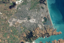
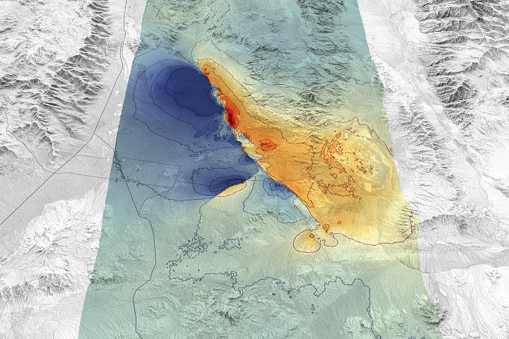
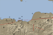
This natural color image of Christchurch, New Zealand, is overlain with a measure of the ground shaking in the area during the February 2011 earthquake.
Published Mar 9, 2011alert message
