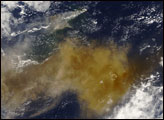
An unexpected series of blasts from a remote volcano in the Kuril Islands sent ash and volcanic gases streaming high over the North Pacific Ocean.
Published Jun 24, 2019
NASA satellites detected ash from Mount Kelut nearly 20 kilometers (12 miles) in the atmosphere within two hours of the explosive February 13 eruption.
Published Feb 15, 2014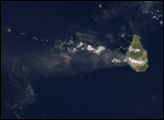

Most of Bogoslof Island is under water, but its eruptions rival those of Alaska’s terrestrial volcanoes.
Published Jan 20, 2017Image of the Day Atmosphere Land Water Volcanoes Remote Sensing
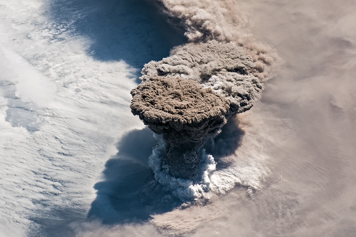
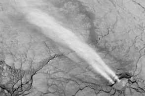
A true-color image from June 13, 2004, shows a high-profile ash plume from Sarychev Peak casting a large shadow to the north.
Published Jun 13, 2009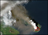
Gas hydrates? Nuclear tests? No. Just unusual, but natural clouds.
Published Oct 22, 2013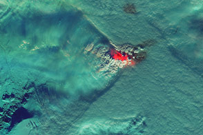
Heat, steam, and sulfur dioxide from the fissure eruption appear to affect cloud patterns around the volcano.
Published Nov 12, 2014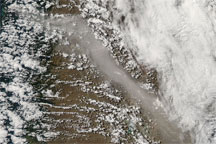
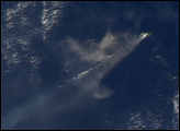
A new eruption of the Chaitén Volcano forced authorities to evacuate residents who had returned to the nearby town of the same name. Ash emissions from the eruption spread across Patagonia to the Argentine east coast.
Published Feb 20, 2009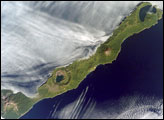
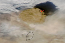
Simushir is a deserted, 5-mile-wide volcanic island in the Kuril Islands chain, half way between northern Japan and the Kamchatka Peninsula of Russia. Four volcanoes—Milne, Prevo, Urataman, and Zavaritski—have built cones tall enough to rise above the green forest. The remaining remnant of Zavaritski Volcano is a caldera, formed when a volcano collapses into its emptied magma chamber.
Published Sep 17, 2007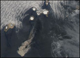
alert message
