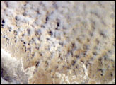
stronauts aboard the International Space Station (ISS) took this image of a major dust storm (image center and right) along the east side of the Aral Sea while passing over central Asia in the spring of 2007. The white, irregular lines along the bottom of the image are salt and clay deposits on the present coastline. The day that the ISS crew shot the image, winds were blowing from the west (lower left).
Published Nov 5, 2007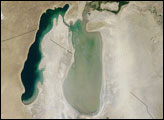
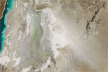
Acquired March 26, 2010, this natural-color image shows a plume rising from the eastern lobe of the South Aral Sea. The dust blows toward the southeast, along the Kazakhstan-Uzbekistan border.
Published Mar 30, 2010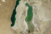
Though the Aral Sea has been steadily shrinking over the past decade, this true-color image from August 2010 shows slight growth in the southern sea as water flowed into it from the Amu Darya for the first time since 2008.
Published Oct 30, 2010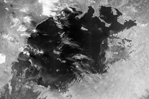
In 1964, it was the world's fourth largest lake. Thanks to irrigation projects, now it is mostly gone.
Published Feb 24, 2012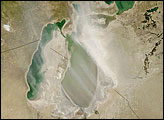
large dust storm blew westward from the Aral Sea in late April 2008. Dry lake bed sediments provide plentiful material to be blown by dust storms, and such sediments surround the Aral Sea.
Published Apr 29, 2008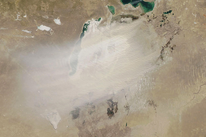
The shrinking of this once-vast inland lake means winds more frequently pick up dust from the exposed lakebed.
Published Mar 25, 2020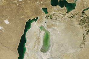
Once the world’s fourth largest lake, the rapidly shrinking Aral Sea has fragmented into four bodies of water. The Southern Aral Sea and Tsche-Bas Gulf show the most dramatic change in 2011.
Published Sep 11, 2011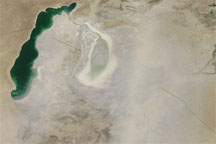
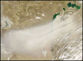
This true-color image shows a dust storm blowing over the desiccated Southern Aral Sea in late June 2009. Dust blows over southern Kazakhstan and across Uzbekistan.
Published Jun 30, 2009alert message
