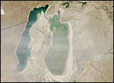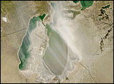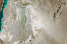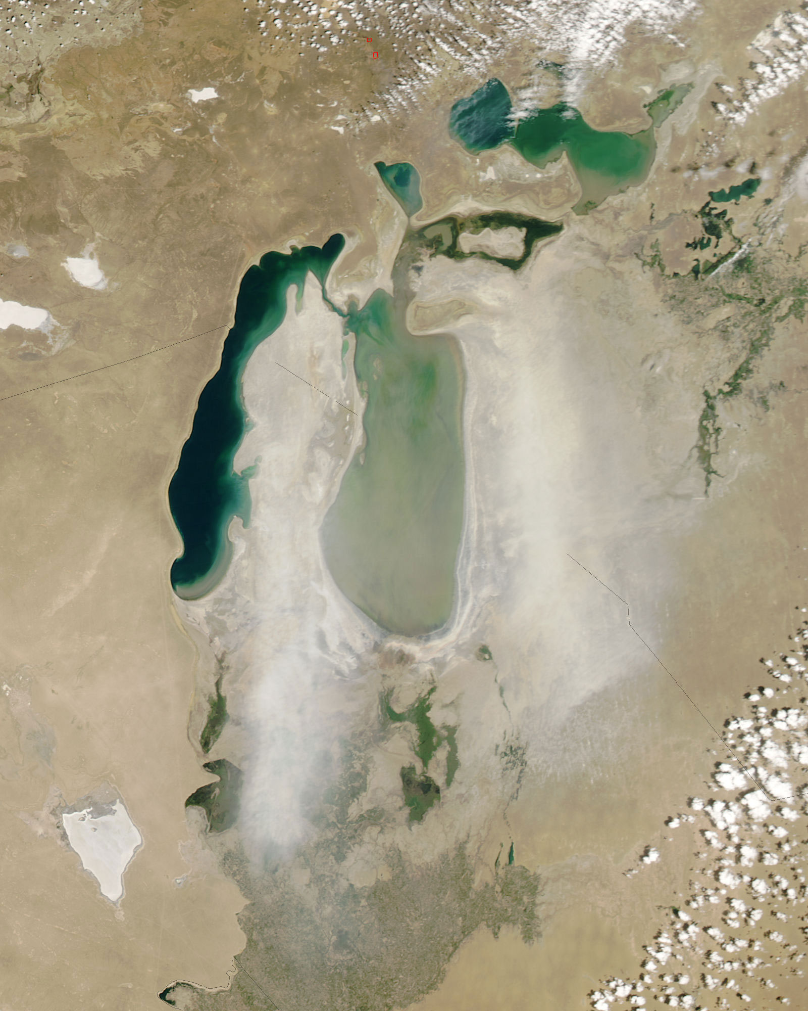
Straddling the border between Kazakhstan in the north and Uzbekistan in the south, the Aral Sea was once the fourth-largest lake in the world. Soviet-era irrigation diverted water, shrinking the Sea to less than half of its 1960 extent. Even between 1989 and 2003, the Sea retreated visibly, as a comparison of satellite images shows.
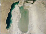
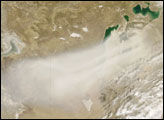
A dam built to restore the northern portion of the Sea caused a surprisingly rapid recovery in 2006. Despite this partial recovery, however, the Sea remained surrounded by its dried-up lakebed, and this dry lakebed was the likely source of a dust storm over the Aral Sea on June 13, 2006. The Moderate Resolution Imaging Spectroradiometer (MODIS) flying onboard NASA’s Aqua satellite took a picture of the dust as it blew over the eastern half of the Aral Sea. In this picture, the dust is very light in color, which is characteristic of lakebed sediments.
NASA image courtesy of Jeff Schmaltz, MODIS Rapid Response Team, NASA-Goddard Space Flight Center.