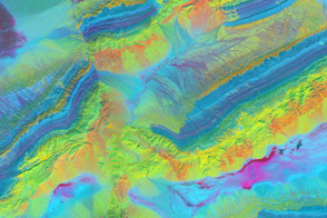
A combo of infrared and visible wavelengths exposes the mineral geology around China’s Piqiang Fault.
Published Apr 17, 2014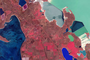
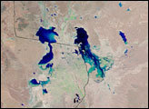
False-color satellite images offer a new perspective on familiar features.
Published Apr 16, 2016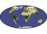
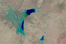
Acquired February 15, 2011, and January 14, 2011, these false-color images show retreating snow and rising water in the Afghanistan province of Herat.
Published Feb 18, 2011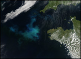
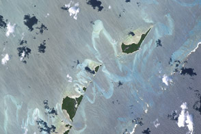
The shallow seas allow us to see vivid details of how waves, winds, and tides shape the islands.
Published Nov 7, 2016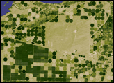
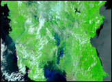
he difference between poplar plantations and native vegetation is illustrated in this pair of satellite images, collected by the Advanced Spaceborne Thermal Emission and Reflection Radiometer (ASTER) on NASA’s Terra satellite on August 27, 2006.
Published Dec 10, 2006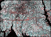
This pair of images from the Multi-angle Imaging Spectroradiometer (MISR) shows the strip of flattened and possibly denuded vegetation left by the F4 tornado (winds from 207 to 260 miles per hour, causing “devastating damage”) that struck La Plata, Maryland on April 28, 2002.
Published May 8, 2002
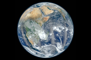
From one million miles away, the DSCOVR satellite returned its first view of the entire sunlit side of Earth.
Published Jul 21, 2015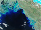
NASA's newest Earth-observing satellite, Suomi NPP, collected the images that went into this new view of our home planet.
Published Feb 4, 2012alert message
