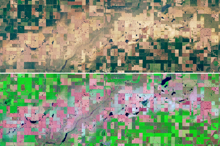
When thunderstorms drive hail and strong winds over crops and grasslands, they can draw long scars across the landscape.
Published Jul 11, 2018Image of the Day Atmosphere Land Severe Storms Human Presence Snow and Ice Remote Sensing
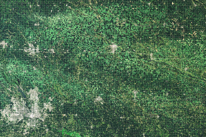
A line of thunderstorms with hurricane-force winds caused widespread damage to crops.
Published Aug 20, 2020Image of the Day Atmosphere Land Life Severe Storms Human Presence
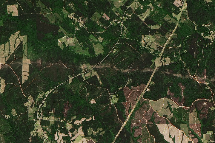
Scientists at Marshall Space Flight Center use satellite imagery to help meteorologists assess the scope of damage caused by tornadoes.
Published May 6, 2016Image of the Day Land Severe Storms Human Presence Remote Sensing
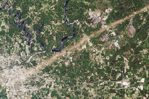
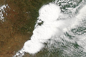
Powerful thunderstorms moving through eastern Texas and western Louisiana spawned several tornadoes, including some that caused major damage.
Published Apr 27, 2020Image of the Day Atmosphere Land Severe Storms Human Presence
A supercell thunderstorm system spawned a destructive tornado near Oklahoma City on May 20, 2013.
Published May 22, 2013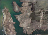

Taken June 29, 2012, this photograph shows a shelf cloud on the leading edge of a violent storm system that blew across the eastern United States.
Published Jul 3, 2012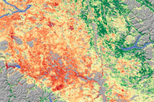
As the size of British Columbia’s pine beetle infestation has grown, forest managers have begun to need a technique to identify damage over large areas. Relying on a variety of data sources, including satellite data, scientists from Goddard Space Flight Center conducted a survey of insect-damaged forests in British Columbia. This image shows their assessment of insect damage overlain on a topography map.
Published Dec 19, 2008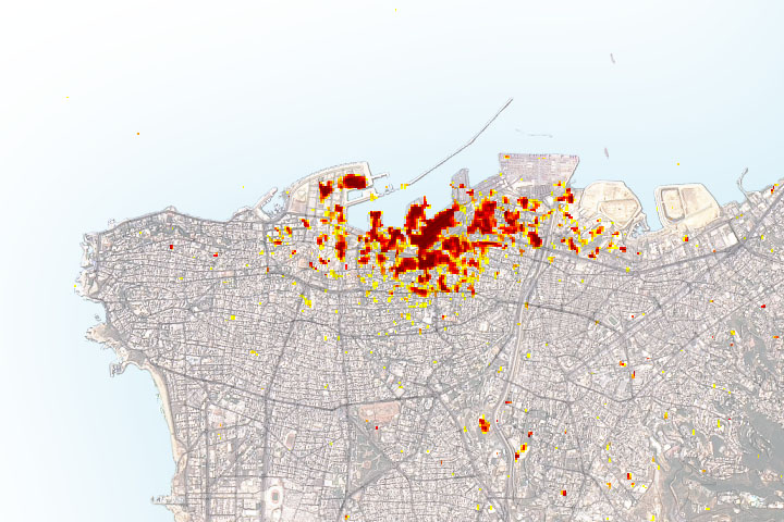
Radar imagery of ground surface changes could help with efforts at disaster relief and recovery after the explosion.
Published Aug 11, 2020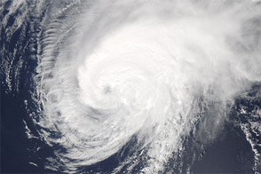
Acquired August 19, 2012, this image shows Hurricane Gordon nearing the Azores.
Published Aug 20, 2012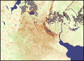
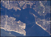
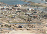
The port town of Biloxi, Mississippi, experienced significant damage when Hurricane Katrina came ashore on August 29, 2005. This astronaut photograph illustrates damage and flooding in the Biloxi area caused by Hurricane Katrina.
Published Sep 19, 2005