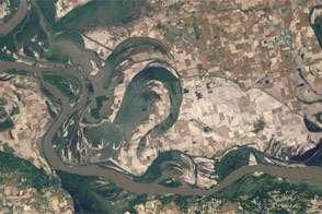
Acquired May 3, 2011, and June 4, 2011, these natural-color images show the Birds Point-New Madrid Floodway after the floodway was opened, and after flood waters receded.
Published Jun 7, 2011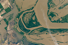
Taken May 12, 2011, this astronaut photograph shows flooding of the Mississippi River along the border between Tennessee and southeastern Missouri.
Published May 16, 2011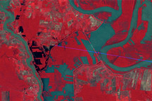
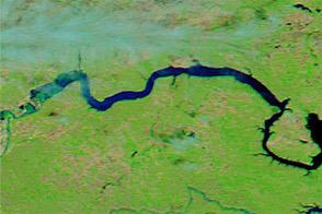
Observations by Landsat 1 from 1973 show the Morganza Floodway after its first and only opening in 57 years.
Published May 14, 2011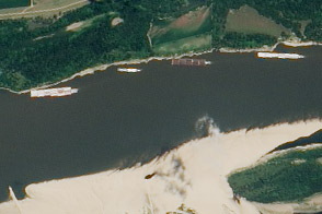
The drought of 2012 reduced traffic to one towboat at a time; groundings closed parts of the river for hours to days.
Published Aug 23, 2012
These false-color images compare conditions along the Mississippi and Yazoo Rivers around Vicksburg in June 2011, during heavy flooding, and three years earlier.
Published Jun 14, 2011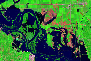
Acquired August 17, 2011, and August 1, 2011, these false-color images document the slow retreat of flood waters along the Missouri River near Blair, Nebraska.
Published Aug 23, 2011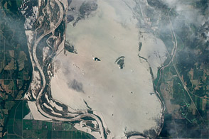
This natural-color image shows flood water from breached levees along the Missouri River near Hamburg, Iowa, on June 24, 2011.
Published Jun 29, 2011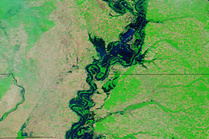
Acquired May 20, 2011, and April 14, 2011, these false-color images show water levels along the Mississippi River.
Published May 23, 2011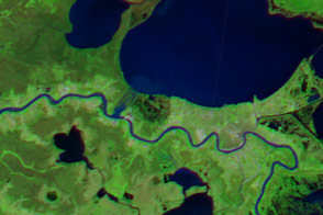
Louisiana prepared for the arrival of flood water that stemmed from heavy rains that fell far upriver in Missouri and Illinois.
Published Jan 16, 2016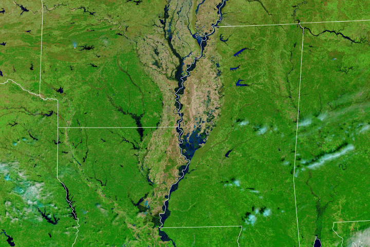
Much of the Lower Mississippi River was flooded in March.
Published Mar 20, 2019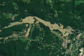
An aerial photo from July 6, 2009, and a satellite image from August 29, 2011, show the North Springfield Reservoir before and after Irene’s heavy rains.
Published Sep 1, 2011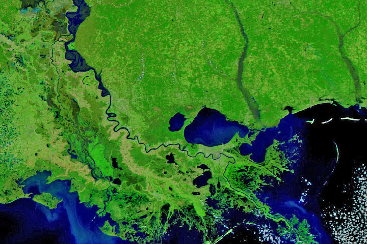
Persistent heavy rains in the first two months of 2020 have swelled rivers from Missouri to the Gulf of Mexico.
Published Feb 29, 2020Image of the Day Land Water Floods Severe Storms Human Presence Remote Sensing
Acquired June 1, 2011, and June 4, 2010, these false-color images compare parts of the Missouri and Souris Rivers.
Published Jun 2, 2011