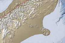
This topographic map of the South Island, New Zealand, illustrates the location of a large earthquake on September 4, 2010, how geologic activity shaped the region in the past, and why the current geology makes Christchurch vulnerable to earthquake damage.
Published Sep 7, 2010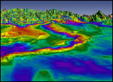
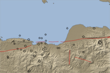
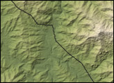
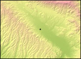
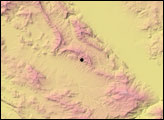
A long valley reveals the location of the Enriquillo-Plaintain Garden Fault in southern Haiti, the site of a deadly earthquake in mid-January 2010.
Published Jan 14, 2010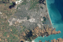
This natural color image of Christchurch, New Zealand, is overlain with a measure of the ground shaking in the area during the February 2011 earthquake.
Published Mar 9, 2011