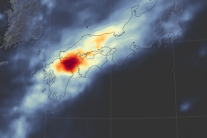
Storms and heavy rains causes Japan’s worst flooding disaster in 35 years.
Published Jul 10, 2018Image of the Day Land Floods Severe Storms Human Presence Remote Sensing
Though it never reached typhoon status, Etau provoked record-setting rain in several prefectures.
Published Sep 11, 2015
This color-coded map shows approximate rainfall amounts over Japan, where unprecedented floods struck some areas in early July 2012.
Published Jul 13, 2012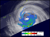
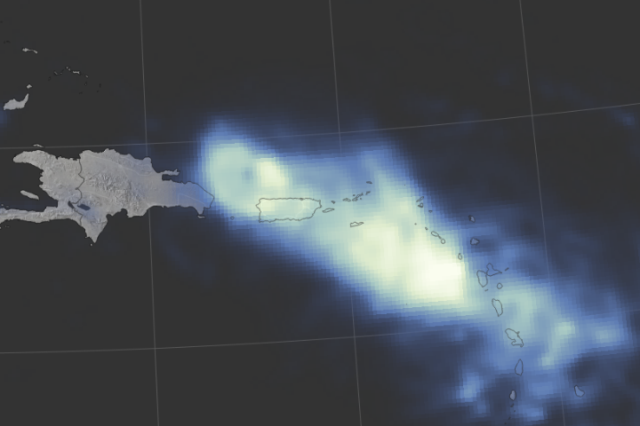
Hurricane Maria delivered a tremendous amount of rain in a short period of time.
Published Sep 24, 2017Image of the Day Land Water Severe Storms Human Presence Remote Sensing
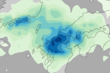
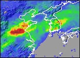
This false-color image shows rainfall amounts in and around southern Japan in July 2009. Deeper blue indicates heavier rainfall.
Published Jul 31, 2009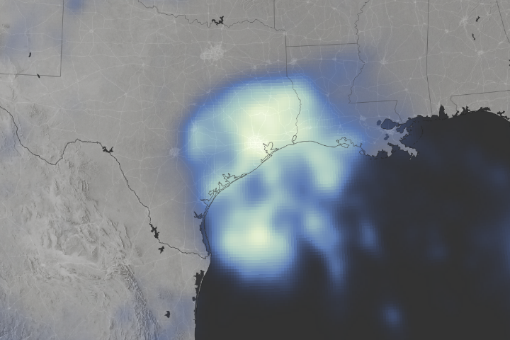
Space-based measurements show regions where Harvey delivered unprecedented rainfall.
Published Aug 30, 2017Image of the Day Land Water Severe Storms Human Presence Remote Sensing

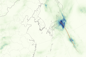
This color-coded map shows rainfall amounts associated with Tropical Storm Talas, the deadliest storm to strike Japan since 2004.
Published Sep 6, 2011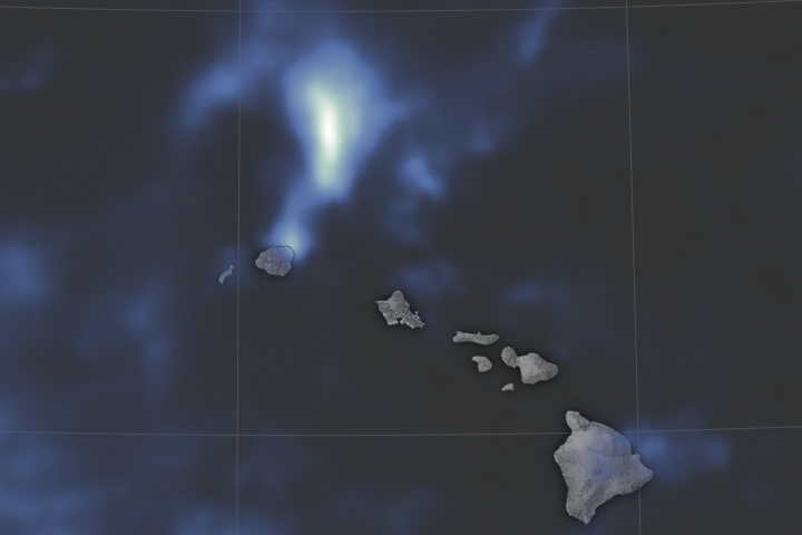
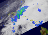
Torrential flooding on the northern shore of Kauai may have set a national record for the most rainfall ever in a 24-hour period.
Published May 2, 2018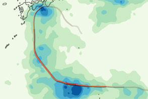
This color-coded image shows the storm track and rainfall amounts associated with Typhoon Ma-on in July 2011.
Published Jul 22, 2011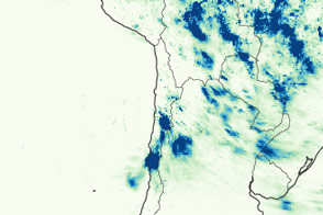
Historic rain around the Atacama Desert led to devastating floods and mud flows.
Published Apr 11, 2015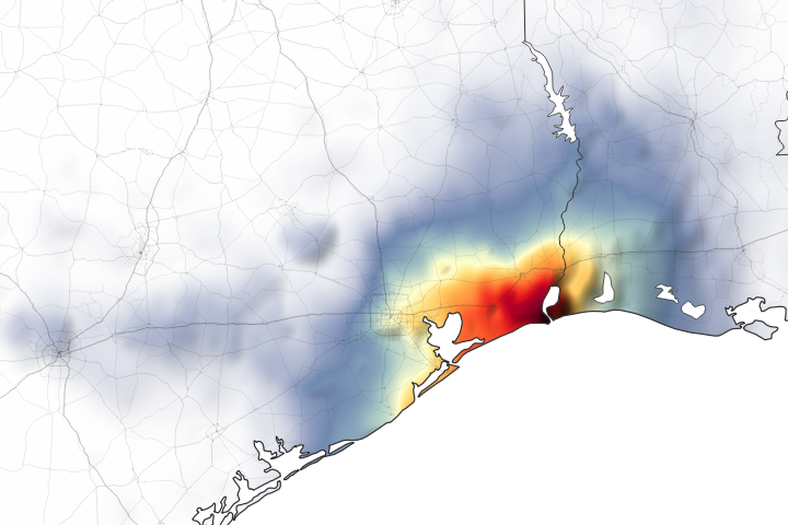
Parts of Houston and Beaumont are underwater after the remnants of Tropical Storm Imelda moved through the area.
Published Sep 20, 2019Image of the Day Land Water Floods Severe Storms Human Presence Remote Sensing
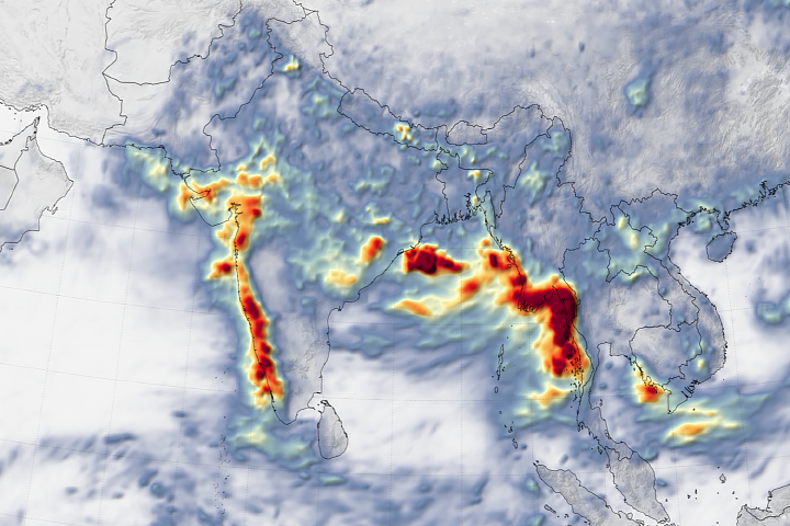
Western India and Burma (Myanmar) suffered through dramatic flooding and landslides in early August 2019.
Published Aug 14, 2019Image of the Day Atmosphere Land Water Drought Floods Severe Storms Human Presence Remote Sensing Temperature Extremes
alert message
