The Earth Observatory has published its last Image of the Day on this website. Please join us on our new home at science.nasa.gov/earth/earth-observatory.
After being soaked in just a few days with double the amount of rain that falls in a normal July, parts of Japan are facing their worst flooding disaster in 35 years. Storms and flooding caused deadly landslides and numerous fatalities, while leading millions of people to evacuate their homes and businesses. Prime Minister Shinzo Abe has called for 73,000 nationwide rescue workers to provide emergency assistance as forecasts predict additional landslides and rain this week.
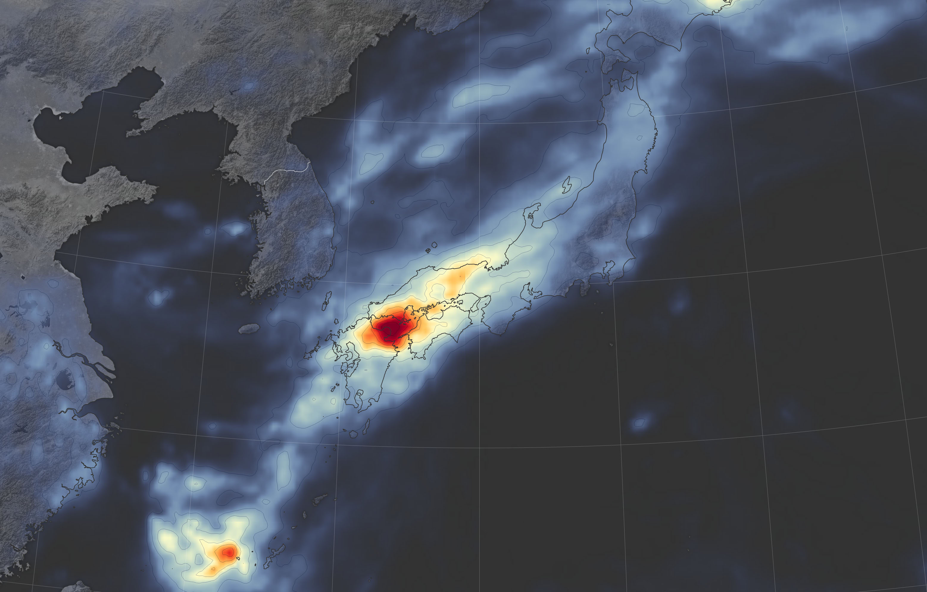
The map above shows rainfall accumulation from 3 a.m. (Japan Standard Time) on July 2 to 3 a.m. on July 9, 2018. Thirteen prefectures on Japan’s mainland received deadly amounts of rain. Hiroshima and Okayama, in the southern part of Honshu Island, were among the worst flooded areas.
These rainfall data are remotely-sensed estimates that come from the Integrated Multi-Satellite Retrievals (IMERG), a product of the Global Precipitation Measurement (GPM) mission. The GPM satellite is the core of a rainfall observatory that includes measurements from NASA, the Japan Aerospace Exploration Agency, and five other national and international partners. Local rainfall amounts can be significantly higher when measured from the ground.
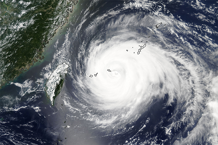
The rains appear to have been caused by warm, humid air flowing from the Pacific Ocean and by remnants of Typhoon Prapiroon, both which intensified the seasonal rain front.
NASA Earth Observatory image by Joshua Stevens, using IMERG data from the Global Precipitation Mission (GPM) at NASA/GSFC. Text by Kasha Patel.