
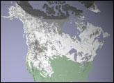
This satellite map of snow cover shows that every state in the contiguous U.S., except for Florida, received snow in January 2011.
Published Feb 25, 2011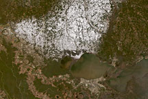
Several inches of wet snow fell across Louisiana, Mississippi, and Alabama in December 2008.
Published Dec 13, 2008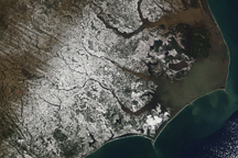
A blanket of white snow covers coastal North Carolina in this natural-color satellite image from February 14, 2010.
Published Feb 15, 2010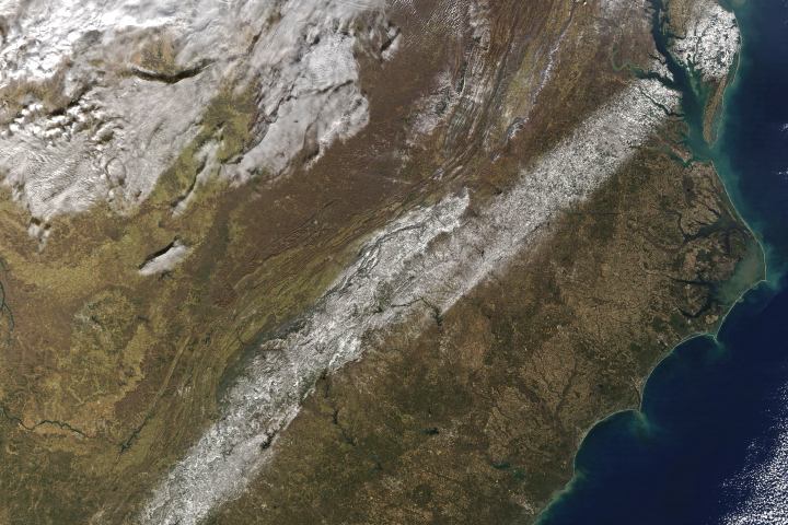
An unusual storm blanketed parts of the Deep South with snow.
Published Dec 12, 2017
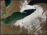
The snowpack near Boston is greater than in all but two reported locations in Alaska.
Published Feb 18, 2015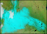
For the first time since 1918, snow fell in Buenos Aires, Argentina, late on July 9, 2007. The snow was still there the next morning when the Moderate Resolution Imaging Spectroradiometer (MODIS) flew over on NASA’s Terra satellite at 10:55 a.m. local time.
Published Jul 11, 2007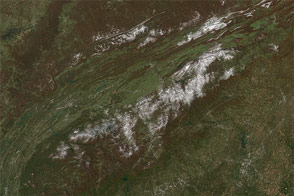
A potent weather system with origins in Manitoba moved south across the Great Lakes on Halloween and blew all the way to Florida, bringing snow and hard frost to regions that don't see either in some winters.
Published Nov 4, 2014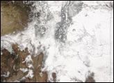
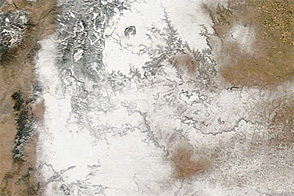
Acquired December 10, 2012, these images show the partial retreat of recently deposited snow cover in New Mexico and neighboring states.
Published Dec 11, 2012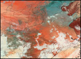
alert message
