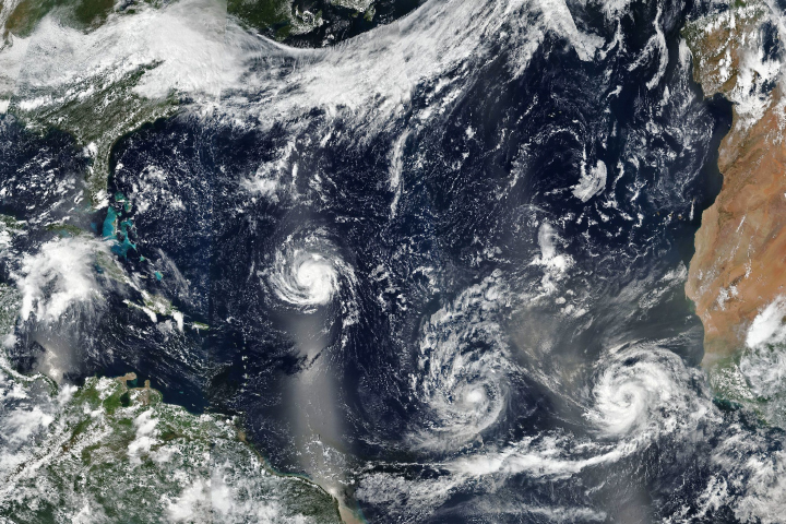
As three hurricanes churn, Florence has forecasters on edge.
Published Sep 10, 2018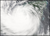
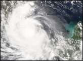
Hurricane Alex—2010’s first hurricane—sprawls across the Gulf of Mexico in this photo-like image from Wednesday, June 30, 2010.
Published Jul 1, 2010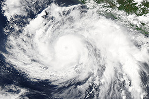
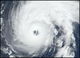
Hurricane Cristina churned off the western coast of Mexico when the Aqua satellite acquired this image on June 11, 2014.
Published Jun 12, 2014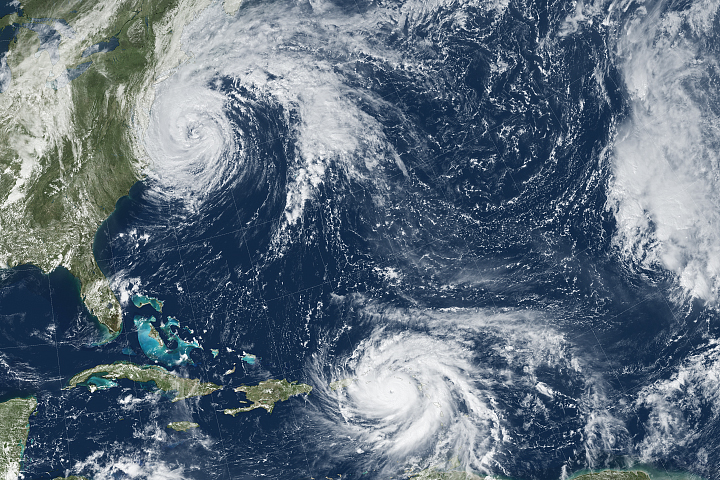
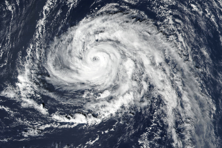
Hurricane Maria brought potent winds and dire warnings to Caribbean islands just two weeks after Irma devastated the region.
Published Sep 20, 2017Image of the Day Atmosphere Land Water Severe Storms Human Presence Remote Sensing
In the latest twist from an unusually potent Atlantic hurricane season, a tropical storm is now headed for the shores of Ireland.
Published Oct 14, 2017
Satellites and astronauts observed the potent storm as it headed for landfall in the southeastern United States.
Published Sep 12, 2018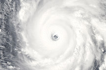
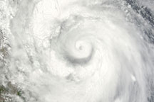
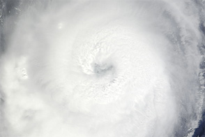
Acquired September 13, 2010, this natural-color image shows Hurricane Igor, a Category 4 hurricane, over the Atlantic Ocean.
Published Sep 13, 2010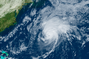
Despite its location near the warm Gulf Stream, the island rarely sees direct hits from major storms.
Published Oct 14, 2016Image of the Day Severe Storms Human Presence Remote Sensing
Acquired September 7, 2012, this natural-color image shows Hurricane Michael over the Atlantic Ocean.
Published Sep 7, 2012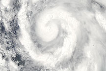
Acquired June 29, 2010, this natural-color image shows Hurricane Alex—2010’s first hurricane—spanning the Gulf of Mexico.
Published Jun 30, 2010