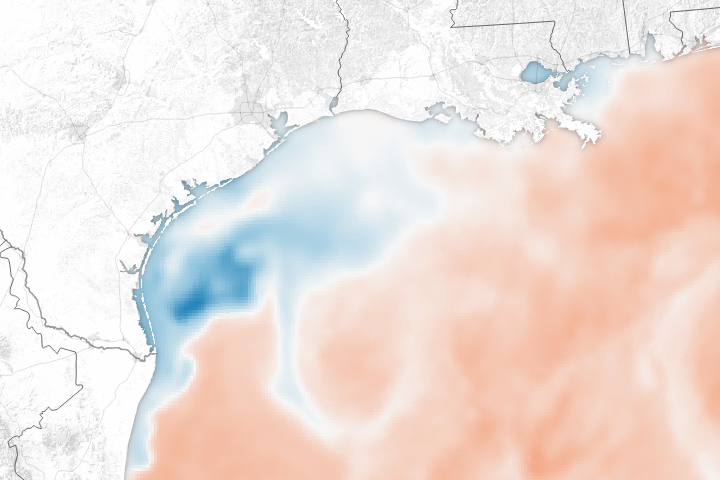
The huge pulse of rainwater and the churning effect of the storm on the Gulf of Mexico has dramatically lowered sea surface temperatures.
Published Aug 31, 2017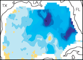

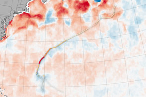
Hurricanes feed off of warm ocean surfaces, consuming the heat and dragging up cool water from below.
Published Oct 19, 2016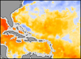
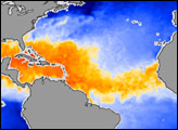
This image of sea surface temperature was acquired by the AMSR-E instrument aboard NASA’s Aqua satellite on September 6, 2004.
Published Sep 7, 2004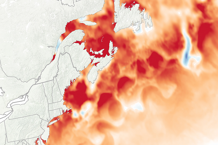
Extreme water temperatures in 2018 fit with a much longer trend in the region, which is among the fastest-warming parts of the global ocean.
Published Sep 12, 2018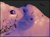
In the winter, strong winds drive surface waters away from the shore, and cold water from the deep ocean wells up to replace it.
Published Jan 8, 2005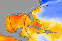
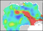
This image of ocean temperatures on June 30, 2009, shows why storms that form in the early part of the Atlantic hurricane season tend to happen in the Gulf of Mexico and Caribbean Sea.
Published Jul 2, 2009