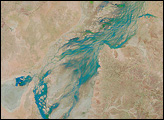
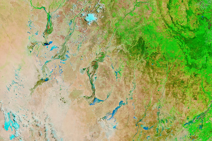
Acquired on January 18, 2010, and December 23, 2009, these false-color images show changes brought by heavy rains to southwestern Queensland. Water appears electric blue, clouds appear sky blue, vegetation appears bright green, and land appears pink-brown.
Published Jan 19, 2010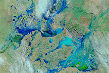
Acquired March 2 and 8, 2011, these false-color images show extensive changes to Australia’s Channel Country after days of rain.
Published Mar 8, 2011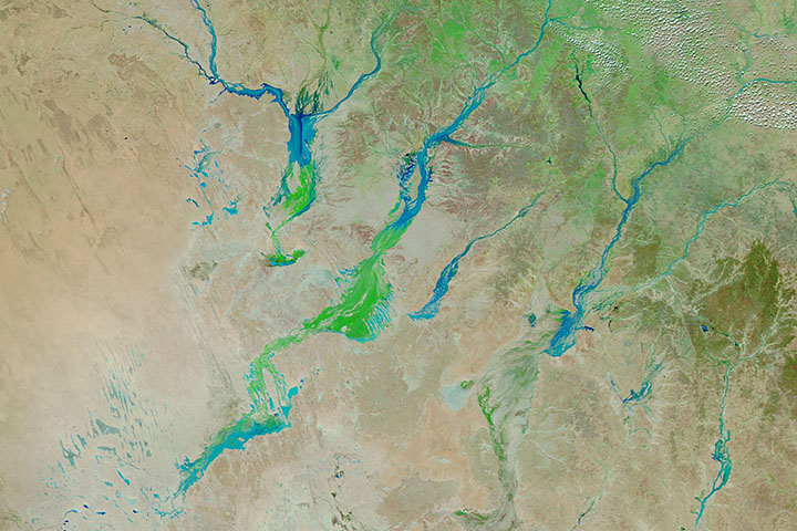
Big rain events in Queensland can alter the landscape for months as water—and then a carpet of vegetation—moves toward Lake Eyre.
Published Apr 3, 2019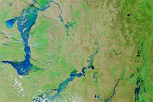
These false-color images of southwestern Queensland on March 14, 2010 (top), February 17, 2010 (middle), and March 16, 2009 (bottom), reveal the extent of recent, severe flooding.
Published Mar 16, 2010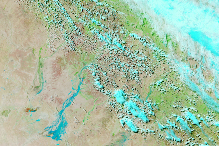
Weeks after rain fell in northern Queensland, floodwaters have traveled hundreds of kilometers to parched areas in the southwest of the state.
Published Mar 30, 2018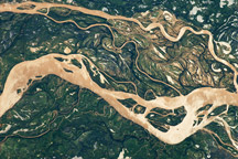
The Paraná River is South America’s second largest, and an important transportation route for landlocked cities in Argentina, Paraguay, Bolivia, and Brazil.
Published May 2, 2011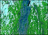
Big rain events in Queensland can alter the landscape for months as water—and then a carpet of vegetation—moves toward Lake Eyre.
Published Mar 13, 2020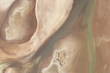
Acquired on April 10, 2010, and and March 7, 2009, these natural-color images show changes in a central Australian saltpan, Lake Frome. In 2010, water has seeped into the salt lake, leaving standing water in some areas and muddying much of the ground surface.
Published Apr 14, 2010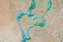
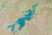
Water flowed through Australia’s Channel Country on February 18, 2009, as seasonal rivers and wetlands filled in response to seasonal rains in Australia's north.
Published Feb 18, 2009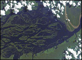
The wide, multi-island zone in the Rio Negro (Black River) shown in this astronaut photograph from September 2, 2006, is one of two, long “archipelagoes” upstream of the city of Manaus (not shown) in central Amazonia. Sixty kilometers of the total 120-kilemeter length of this archipelago appear in this image.
Published Dec 4, 2006