Debris spread more than 3 kilometers (2 miles) from the source to the toe of the landslide.
Published May 22, 2017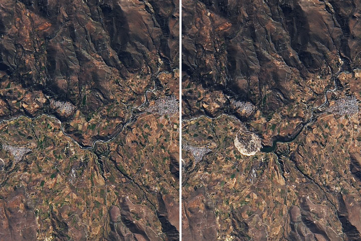
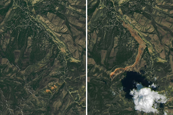
In Peru, a landslide damaged farmland and stopped the flow of an important local river.
Published Jul 3, 2020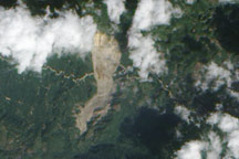
On January 4, 2009, a mountainside in northern Guatemala suddenly collapsed, sending thousands of tons of rock and debris downhill and burying a nearby road. The event occurred in the state of Alta Verapaz, some 200 kilometers (124 miles) north of Guatemala’s capital city.
Published Jan 15, 2009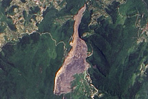
On June 5, 2009, a mountainside collapsed in the Chingqing region of southern China, burying dozens of people. The landslide remained visible in satellite imagery nearly two weeks later.
Published Jun 19, 2009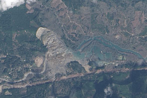
On March 22, 2014, a rainfall-triggered landslide near Oso, Washington, sent muddy debris spilling across the North Fork of the Stillaguamish River.
Published Mar 27, 2014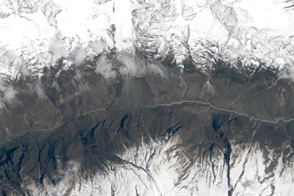
The powerful earthquake in Nepal triggered a destructive landslide that completely buried a village.
Published May 5, 2015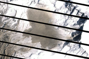
Acquired on April 20 and May 6, 2012, these images compare conditions before and after a landslide in Nepal. The slide likely led to deadly flooding.
Published May 24, 2012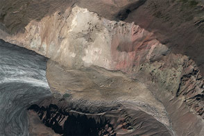
A combination of seismographic data and satellite imagery is making it easier for scientists to locate elusive landslides. In summer 2013, Landsat 8 helped pinpoint a slide in eastern Alaska.
Published Aug 30, 2013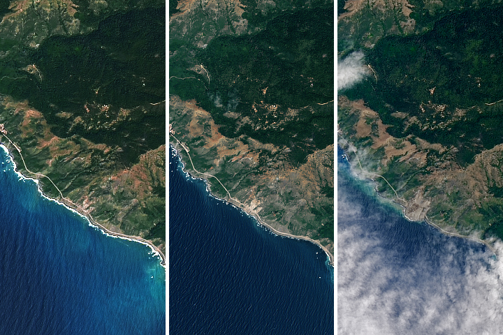
More than a million tons of rocks and dirt covered the road.
Published May 24, 2017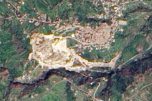
A pale tan scar in this natural-color image from March 14, 2010, marks the location of a landslide outside the southern Italian town of Maierato.
Published Mar 17, 2010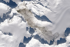
The largest natural landslide to occur anywhere on Earth since 2010 spilled off the flanks of Mount La Perouse in February 2014.
Published Feb 25, 2014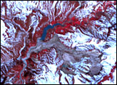
Geysers are a rare natural phenomena found only in a few places, such as New Zealand, Iceland, the United States (Yellowstone National Park), and on Russia’s far eastern Kamchatka Peninsula. On June 3, 2007, one of these rare geyser fields was severely damaged when a landslide rolled through Russia’s Valley of the Geysers. The landslide—a mix of mud, melting snow, trees, and boulders—tore a scar on the land and buried a number of geysers, thermal pools, and waterfalls in the valley. It also blocked the Geyser River, causing a new thermal lake to pool upstream.
Published Jun 20, 2007