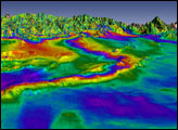
Using satellite radar sensors, scientists have been able to detect the rising and falling of the landscape in the Himalayas caused by the Gorkha earthquake.
Published May 14, 2015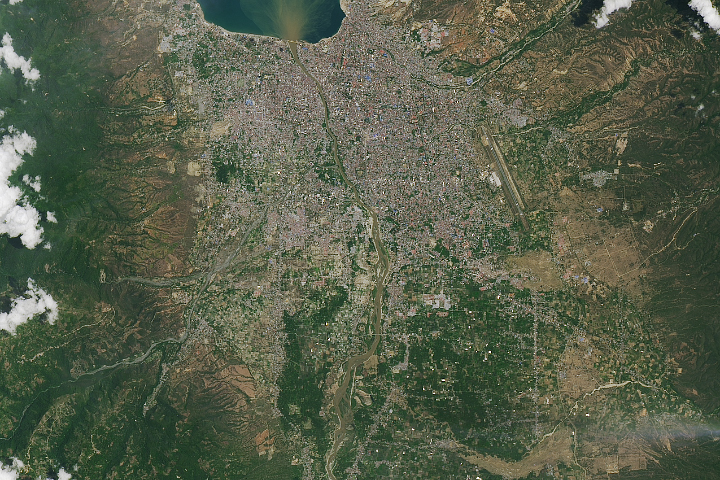
Sobering satellite views reveal massive damage on the Indonesian island of Sulawesi.
Published Oct 3, 2018Image of the Day Land Water Human Presence Remote Sensing Earthquakes

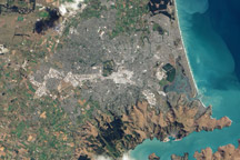
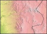
This natural color image of Christchurch, New Zealand, is overlain with a measure of the ground shaking in the area during the February 2011 earthquake.
Published Mar 9, 2011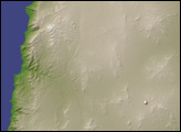
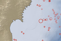
On March 11, 2011, a magnitude 8.9 earthquake struck off the east coast of Honshu, Japan, about 130 kilometers (80 miles) east of Sendai. If the initial estimate is confirmed, it will be the fifth largest earthquake in recorded history.
Published Mar 12, 2011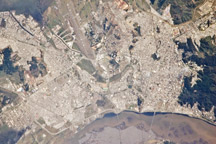
Smoke plumes and apparent damage to a bridge are visible in this astronaut photograph of Concepción, Chile, following the magnitude 8.8 earthquake on February 27, 2010.
Published Mar 4, 2010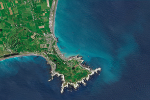
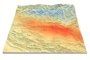
The quake lifted rocks, seaweed, and creatures above the water line in some coastal areas of New Zealand.
Published Dec 3, 2016