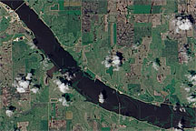
Acquired June 24, 2010, this natural-color image shows the swollen James River covering normally dry land in the river valley.
Published Jun 28, 2010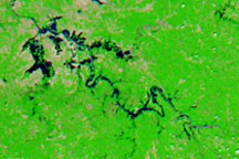
Acquired on May 9, 2010 and April 29, 2010, these false-color images show changes in the Green and Ohio Rivers caused by severe flooding.
Published May 14, 2010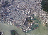
his astronaut photograph captures the dense urban fabric of Brooklyn, New York City’s largest borough (population of 2.6 million), characterized by the regular pattern of highly reflective building rooftops (white). Two main arteries from Manhattan into Brooklyn—the famous Brooklyn Bridge and neighboring Manhattan Bridge—cross the East River along the left (north) side of the image.
Published Jul 30, 2007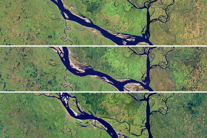
The lower portion of the Padma River has wide meandering curves, an indicator of extensive erosion.
Published Aug 28, 2018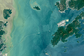
Once completed, the Hong Kong-Zhuhai-Macau Bridge will be one of the longest water crossings in the world.
Published May 15, 2016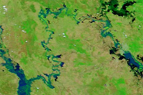
Acquired January 17 and 30, 2013, these images compare conditions along the Mackenzie-Fitzroy River system.
Published Jan 31, 2013
Rapid growth in several cities along the Pearl River Delta has made a Chinese megacity larger and more populous than any other urban area in the world.
Published Sep 15, 2015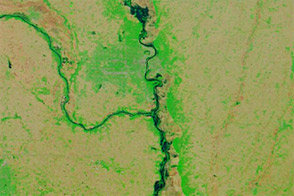
Acquired June 6, 2011, and June 16, 2010, these false-color images compared conditions along the Missouri River in Nebraska, Iowa, and Missouri.
Published Jun 7, 2011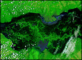
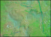
The swampy wetlands that surround Zambia’s Kafue River were submerged with water on February 14, 2008. The river floods seasonally, but the rainy season of 2007-2008 caused exceptional flooding across southern Africa. Under the influence of unusually intense rains, the Kafue River spanned tens of kilometers.
Published Feb 16, 2008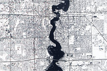
Held in place by reinforced levees, the swollen Red River snakes through Fargo, North Dakota, and Moorhead, Minnesota, in this image captured by the Advanced Land Imager on the EO-1 satellite on March 28, 2009.
Published Mar 31, 2009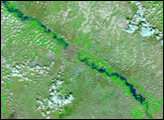
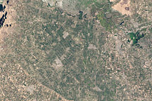
Acquired September 20 and November 23, 2002, these natural-color images show agricultural fields in Jizzax Province at the end of summer and in late fall.
Published Apr 24, 2011