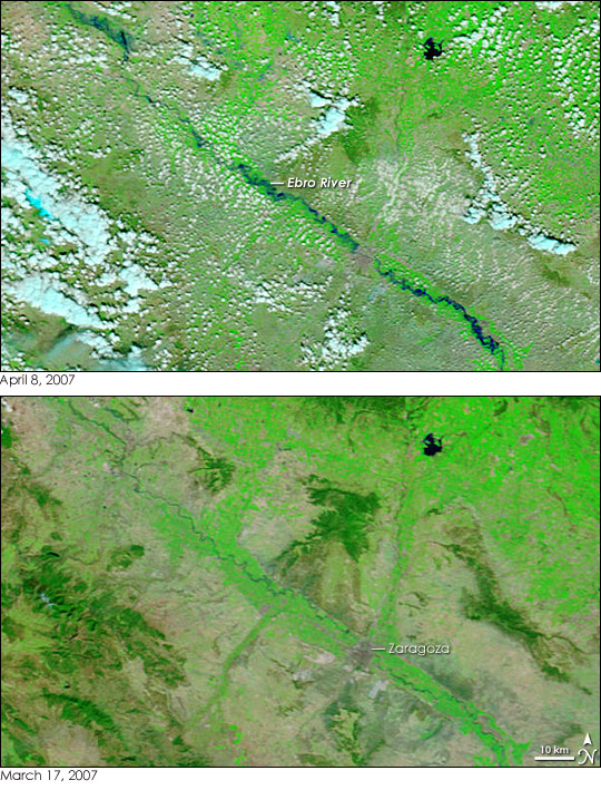
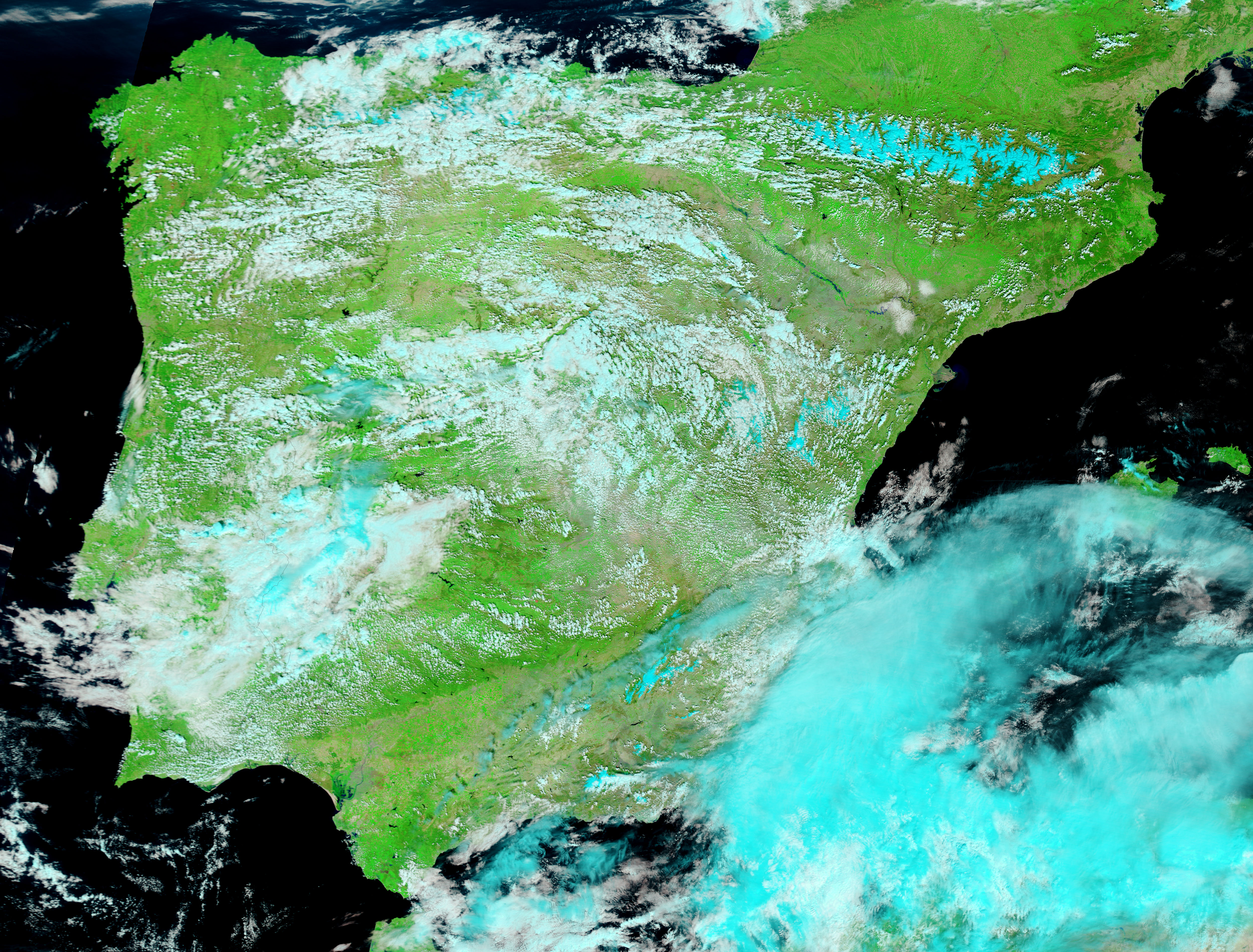
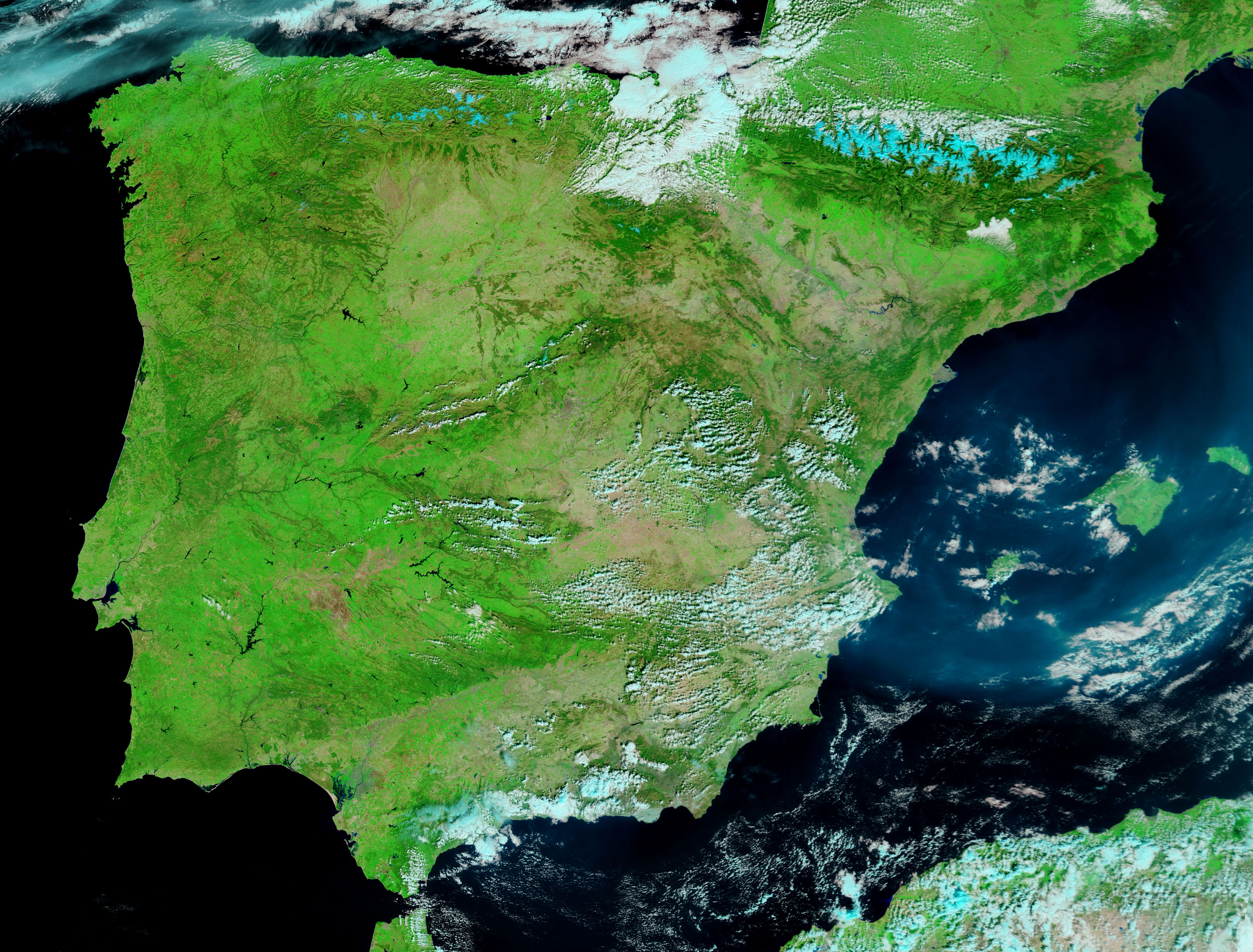
Spring rains left the Ebro River in eastern Spain running high in early April 2007. Flooding along the length of the river put 10,000 hectares of farmland under water, causing 40 million dollars of damage to crops, said the Dartmouth Flood Observatory. The Moderate Resolution Imaging Spectroradiometer (MODIS) on NASA’s Terra satellite captured the top image of the floods on April 8, 2007. The lower image, taken on March 17, 2007, shows the river under normal conditions.
The images combine infrared and visible light to make water stand out against the ground. In this type of image, water is dark blue or black, clouds are pale blue and white, vegetation is green, and bare ground is tan. The bright green squares that surround the river in the March 17 image are fields of irrigated crops. Natural vegetation in the mountains east and west of the river is a darker shade of green and is more even in tone. The Ebro River, swollen in the top image, flows southeast across the image. Its path carries it through the city of Zaragoza, the capital of the Spanish province of Aragon, which is cement gray in these images. Daily images of Spain like the images shown here are available from the MODIS Rapid Response System.
NASA image courtesy the MODIS Rapid Response Team at NASA GSFC.
alert message


