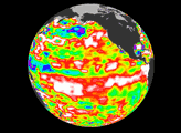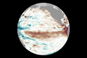
Conditions in May 2014 look similar to those in May 1997, a year that brought one of the most potent El Niño events of the 20th century.
Published May 14, 2014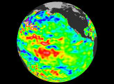

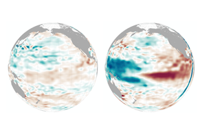
Past events suggest the phenomenon winds down after December and January. But will this year follow the pattern?
Published Jan 22, 2016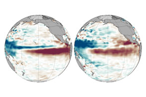
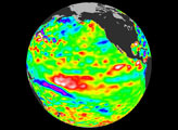
With each passing month, 2015 looks more and more like 1997.
Published Oct 13, 2015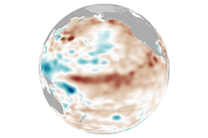
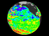
Ocean conditions are not likely to help drought-stressed regions this spring. However, some broader changes might be coming in the Pacific.
Published Mar 25, 2015
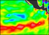
A strip of cold water hugging the equator in the eastern tropical Pacific Ocean in mid-June may foreshadow a transition from El Niño to La Niña conditions
Published Jun 24, 2010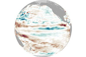
After appearing for two consecutive winters, La Niña appears to be taking some time off.
Published May 4, 2012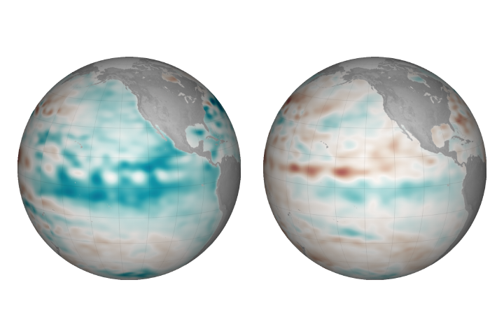
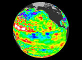
Cooler than normal conditions prevail in the central and eastern Pacific, but the event is so far considered weak.
Published Dec 22, 2017