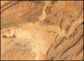
Much of Oman’s landscape is low-lying, hot, and dry. Northern Oman, however, contains rugged mountains, some of the highest elevations in eastern Arabia, and varied vegetation.
Published Nov 26, 2008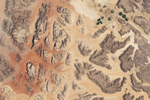
Acquired July 27, 2001, this natural-color image shows part of Wadi Rum, a protected desert landscape in Jordan.
Published Apr 3, 2011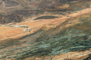
These colorful sequences of rock tell a story of geologic upheaval.
Published Jan 25, 2017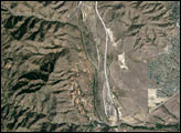
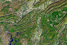
Acquired November 13, 2002, this false-color image shows part of the Ouachita Mountains in southeastern Oklahoma.
Published Oct 24, 2010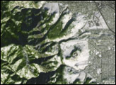
The world’s oldest and largest known impact structure shows some of the most extreme deformation conditions known on Earth.
Published Sep 1, 2018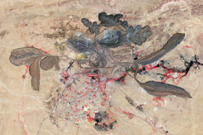
A mining operation in China dominates the global market for rare metals used in consumer products.
Published Apr 21, 2012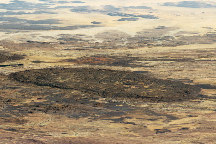
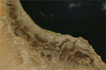
The Aïr Mountains stand out, aesthetically and geologically, from the surrounding low-lying plains to support unique wildlife.
Published Dec 22, 2018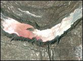
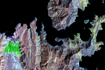
The rocky, fjord-like fingers of the Musandam Peninsula jut into the narrow Strait of Hormuz at the mouth of the Persian Gulf in this detailed image from the Advanced Spaceborne Thermal Emission and Reflection Radiometer on NASA's Terra satellite.
Published Apr 15, 2009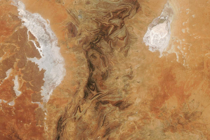
The Flinders Ranges—the largest mountain range in South Australia—is a classic example of a folded mountain range.
Published May 4, 2019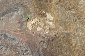
Atop a mountain peak in eastern California, rare earth elements are concentrated around some complex geological features.
Published Jan 15, 2012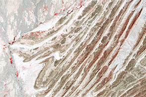
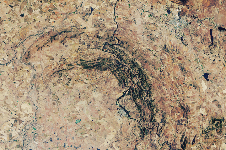
The collision of India and Eurasia pushed up tectonically complex mountains in western Pakistan.
Published Jul 23, 2014