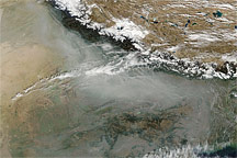
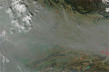
White-gray haze covers the Ganges Plain of northern India in this true-color image from December 2, 2009.
Published Dec 2, 2009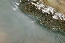
Acquired December 11, 2010, this natural-color image shows a haze along the southern face of the Himalaya.
Published Dec 13, 2010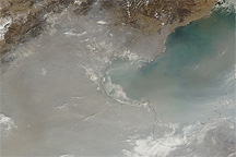
Acquired February 17, 2011, this natural-color image shows heavy haze over eastern China.
Published Feb 18, 2011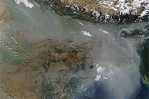
As is often the case in the winter, haze hovered over the Indo-Gangetic Plain in January 2016, darkening skies over northern India and Bangladesh.
Published Jan 5, 2016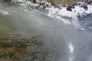
Acquired in early December 2011, this natural-color image shows haze along the southern slopes of the Himalaya, continuing a weeks-long pattern.
Published Dec 5, 2011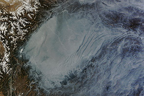
The Sichuan Basin’s bowl-shaped topography helps trap air pollution.
Published Jan 26, 2014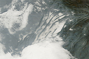
Haze, clouds, and fog mingled in China’s Sichuan Basin on December 24, 2014.
Published Dec 26, 2014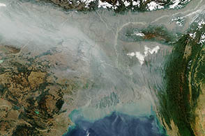
Thick haze hung over northern India and Bangladesh in January 2013. Over the past decade, large cities in India have seen some of the world's fastest-rising levels of air pollution.
Published Jan 12, 2013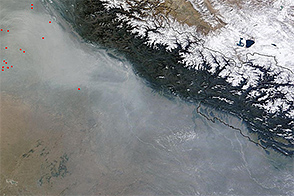
Thick haze hung over northern India in the latter part of October 2014.
Published Oct 30, 2014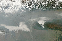
Acquired January 20, 2011, this natural-color image shows haze over India and Bangladesh.
Published Jan 20, 2011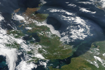
A dense plume of haze sweeps over the United Kingdom and the North Sea in this true-color image from April 22, 2011.
Published Apr 22, 2011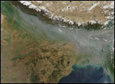
Acquired December 14, 2009, this true-color image of northern India and Bangladesh shows thick haze hugging the southern face of the Himalaya.
Published Dec 15, 2009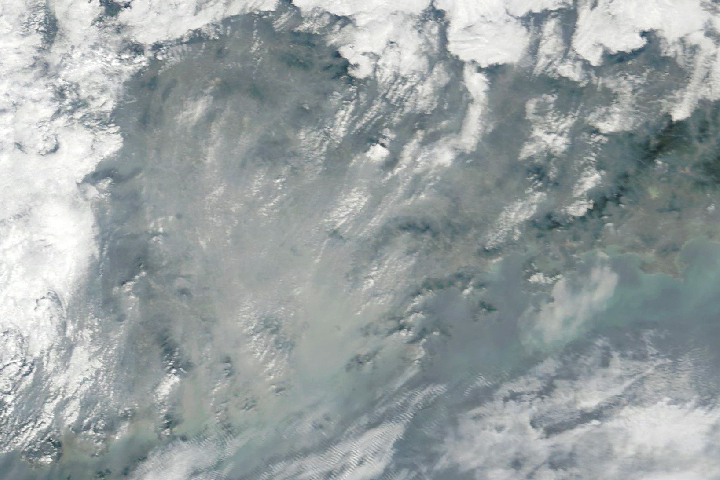
Air pollution is less common in southern China, but Guangdong province can still get pretty hazy.
Published Jan 23, 2018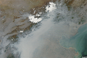
Pollution far exceeding World Health Organization standards blanketed the North China Plain in October 2014.
Published Oct 9, 2014
NASA’s Aura satellite observes nitrogen dioxide hovering over many cities in the region, trapped by winter weather conditions.
Published Jan 18, 2013