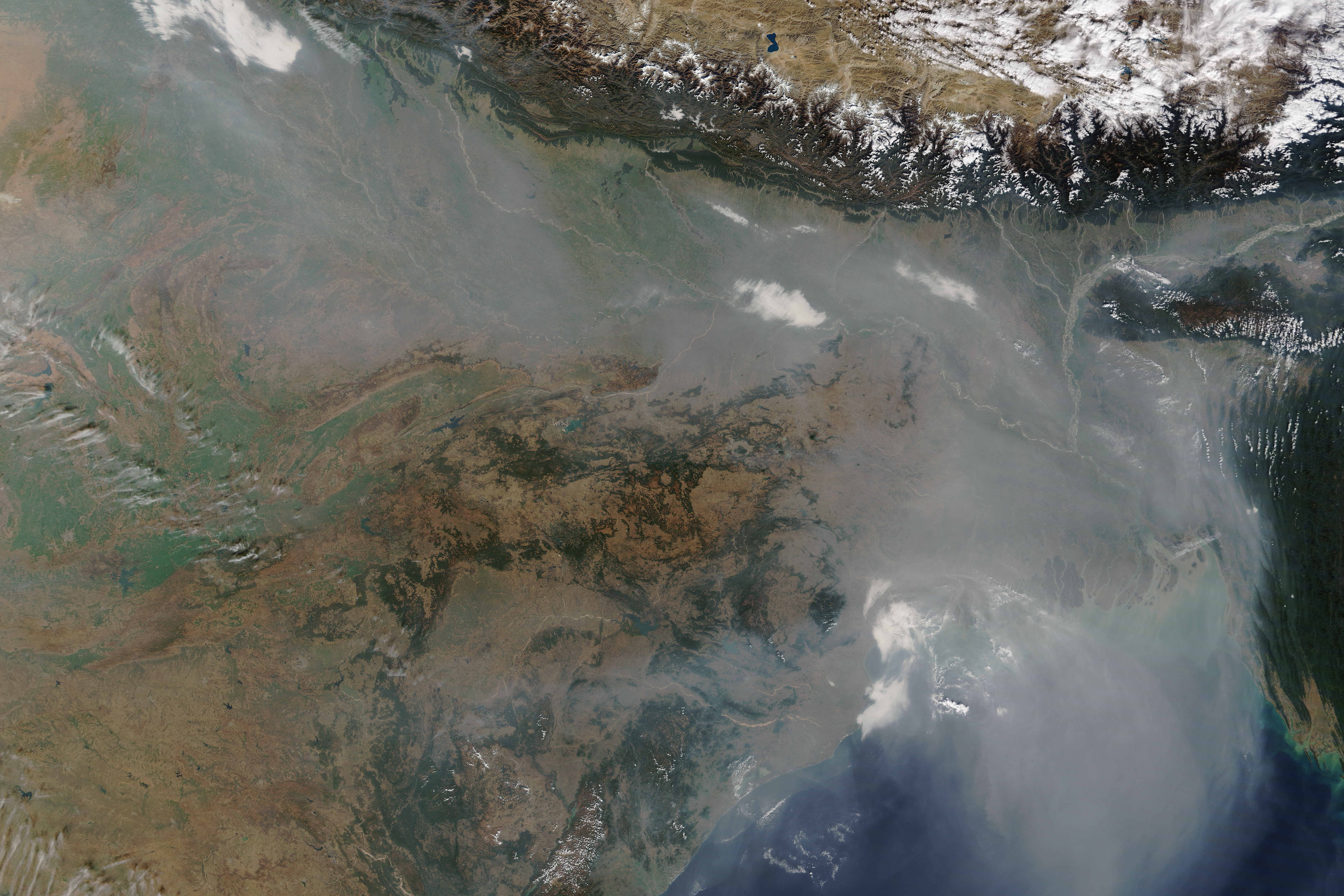
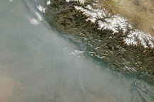
As is often the case in winter, a thick river of haze hovered over the Indo-Gangetic Plain in January 2016, darkening skies over northern India and Bangladesh. On January 3, the Moderate Resolution Imaging Spectroradiometer (MODIS) on NASA’s Terra satellite captured this image of haze hugging the Himalayas and spilling out toward the Bay of Bengal.
The haze likely resulted from a combination of urban and industrial pollution, agricultural and cooking fires, and a meteorological phenomenon known as a temperature inversion. Usually the air higher in the atmosphere is cooler than the air near the surface, a situation that allows warm air to rise and disperse pollutants. However, cold air often settles over northern India in the winter, trapping pollution near the surface, where it has the greatest effect on human health.
Air pollution has emerged as a significant issue in India. Satellite observations show that levels of both sulfur dioxide and nitrogen dioxide are rising. A recent World Health Organization analysis of particulate pollution concluded that many of the world’s most polluted cities were in India. Meanwhile, New Delhi, India’s capital city, has begun an experiment that will keep half of vehicles off the road for the first two weeks of January in an attempt to curb air pollution.
NASA image by Jeff Schmaltz, LANCE/EOSDIS Rapid Response. Caption by Adam Voiland.


