Images related to SRTM and Landsat views of Patagonia, Argentina

3D View of Los Angeles
Image

3D View of Los Angeles

Published Sep 22, 2000

Image of the Day Land

The Coast of Oman
Image

The Coast of Oman

Published Aug 4, 2000

Image of the Day Land

Landsat 8’s First Year
Image

Landsat 8’s First Year

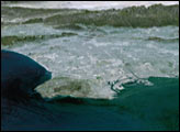
A composite view of the United States represents one of the ways scientists are exploring Landsat 8’s capabilities.

Published Feb 11, 2014

Image of the Day Land

A Long Look at El Paso and Ciudad Juarez
Image

A Long Look at El Paso and Ciudad Juarez

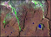
When the Landsat archive is combined with modern computing power, scientists can view the planet not just across space, but also time.
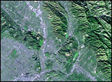
Published Jun 11, 2013

Image of the Day Land Unique Imagery Human Presence Remote Sensing

A Lot of Data, A Lot of Possibilities
Image

A Lot of Data, A Lot of Possibilities

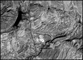
50 trillion pixels of Landsat data give researchers a lot of opportunities to look at Earth processes on scales from days to decades.

Published Apr 16, 2015

Image of the Day Land Remote Sensing

Los Angeles
Image

Los Angeles

Published Apr 12, 2002

Image of the Day Land