Acquired April 14, 2011, and March 18, 2011, these false-color images show conditions along the Red River in North Dakota, Minnesota, and Manitoba.
Published Apr 18, 2011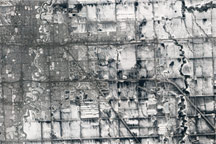
The Advanced Land Imager on NASA's Earth Observing-1 satellite captured these natural-color views of snow cover, melting, and developing floods around Fargo, N.D., and Moorhead, Minn. in spring 2011.
Published Apr 9, 2011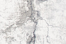
This photo-like image shows extensive flooding on the Red River near Fargo, North Dakota, on March 28, 2009 as the river reached a record high of 40.82 feet.
Published Mar 30, 2009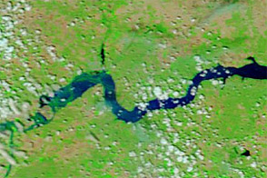
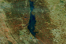
Acquired June 11, 2011, and June 4, 2010, these false-color images compare conditions around Williston, North Dakota, during the 2011 floods and the year before.
Published Jun 13, 2011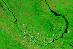
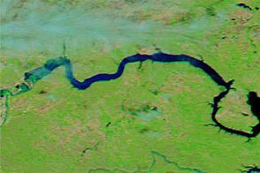
Acquired July 7, 2011, and July 4, 2010, these false-color images compare conditions along the Souris River in North Dakota, where record flooding struck in June 2011.
Published Jul 7, 2011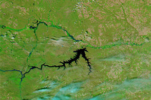
Acquired June 5, 2011, and June 16, 2010, these false-color images compare conditions along the Milk, Souris, and Missouri Rivers in Montana and North Dakota.
Published Jun 6, 2011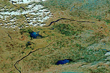
Acquired April 24, 2011, and April 4, 2011, these false-color images show melting snow and rising waters in Manitoba.
Published Apr 25, 2011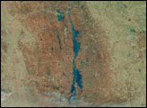
Acquired June 1, 2011, and June 4, 2010, these false-color images compare parts of the Missouri and Souris Rivers.
Published Jun 2, 2011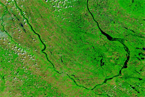
Acquired June 23, 2011, and June 24, 2010, these false-color images compare conditions along the Souris River in North Dakota.
Published Jun 23, 2011