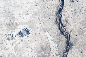
This astronaut photograph highlights hundreds of rectangular fields along the Songhua River in eastern China.
Published Dec 17, 2012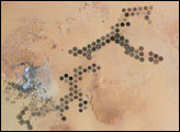
Green circles in the desert frequently indicate tracts of agriculture supported by center-pivot irrigation. The Al Khufrah Oasis in southeastern Libya (near the Egyptian border) is one of Libya’s largest agricultural projects, and is an easy-to-recognize landmark for orbiting astronauts aboard the International Space Station. Because only about 2 percent of Libya’s land receives enough rainfall to be cultivated, this project uses fossil water from a large underground aquifer. The Libyan government also has a plan called the Great Man Made River to pump and transport these groundwater reserves to the coast to support Libya’s growing population and industrial development.
Published Nov 15, 2004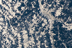
Is that a tapestry or an agricultural scene from Canada?
Published Jan 23, 2012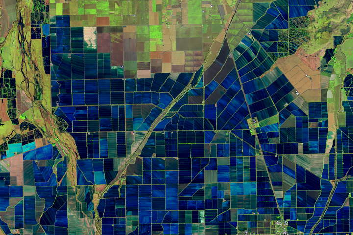
Flooded rice fields in the winter help farmers soften plant stubble for spring tilling. They also provide an oasis for migratory birds.
Published Mar 26, 2019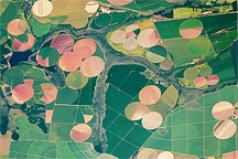
Astronaut photograph of the diverse agricultural landscape in the western part of Minas Gerais state in Brazil.
Published Feb 21, 2011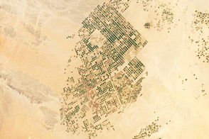
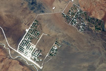
This photograph from the International Space Station presents an almost surreal view of abundant green fields in the midst of a barren desert.
Published Mar 5, 2012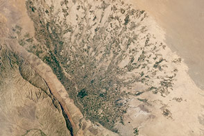
Clusters of dark green fields stretch away from the hills like fingers across this alluvial fan in Afghanistan.
Published Aug 1, 2016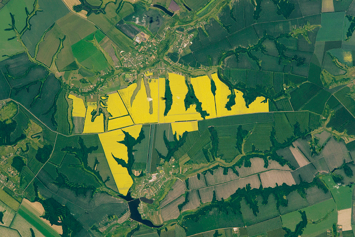
Yellow flowers brighten the landscape of southwestern Russia.
Published Oct 13, 2019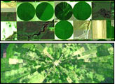
Around the world, agricultural practices have developed as a function of topography, soil type, crop type, annual rainfall, and tradition. This montage of six images from shows differences in field geometry and size in different parts of the world.
Published May 30, 2006
The Shebelle River has its headwaters in the Ethiopian Highlands, and transports water and sediment 1,000 kilometers to the southeast across Ethiopia and into Somalia.
Published Apr 11, 2011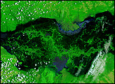
The swampy wetlands that surround Zambia’s Kafue River were submerged with water on February 14, 2008. The river floods seasonally, but the rainy season of 2007-2008 caused exceptional flooding across southern Africa. Under the influence of unusually intense rains, the Kafue River spanned tens of kilometers.
Published Feb 16, 2008alert message
