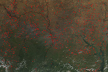
Hundreds of fires, probably related to agriculture, were burning across West Africa on December 26, 2009, when Aqua MODIS captured this image.
Published Dec 28, 2009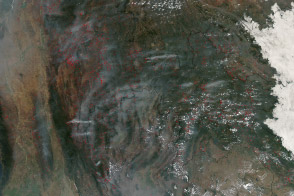
Hundreds of fires veiled northern Indochina in smoke as the traditional land-use burning season neared its peak.
Published Mar 19, 2014
Fire is ubiquitous, both a tool and a destructive force. Like plants, fire grows and wanes in seasons.
Published Dec 31, 2008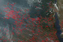
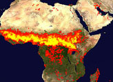
This image from the Moderate Resolution Imaging Spectroradiometer (MODIS) on NASA’s Aqua satellite from July 8, 2009, shows thick smoke from hundreds of fires burning in central Africa.
Published Jul 8, 2009
Fires burning in peat deposits in Indonesia release gases and particles that have consequences for public health and the climate.
Published Sep 17, 2019Image of the Day Atmosphere Heat Land Dust and Haze Fires Human Presence Remote Sensing
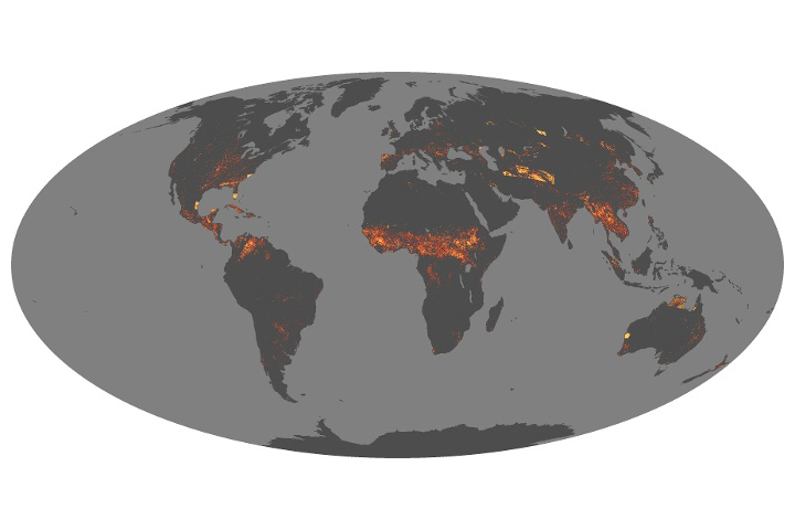
Scientists have answered some important questions about how fires vary around the world and are changing over time.
Published Aug 21, 2019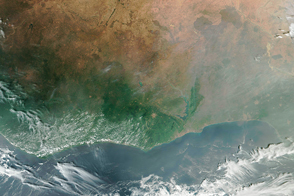
A NASA scientist wants to understand if fires in Africa may be contributing directly or indirectly to changing rainfall patterns.
Published Sep 22, 2016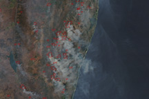
Widespread fires produce thick smoke in this image of South Africa from September 15, 2010.
Published Sep 15, 2010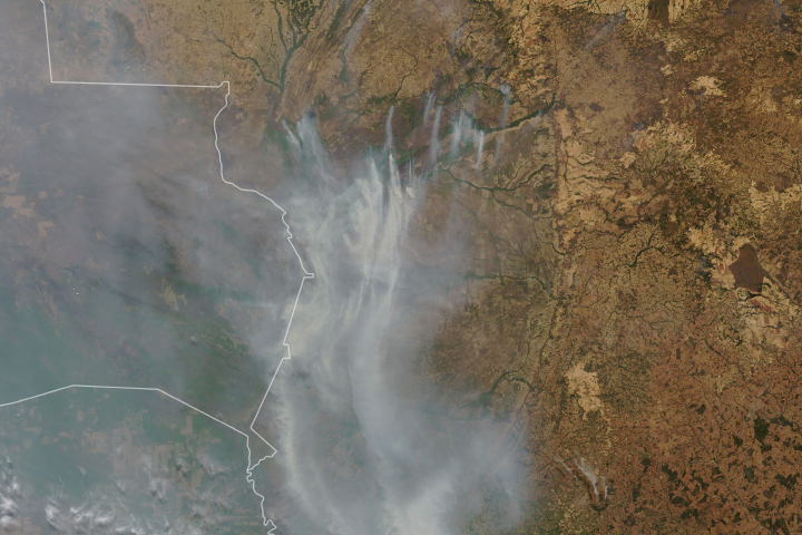
Drought-parched wetlands in South America have been burning for weeks.
Published Sep 17, 2020
Hundreds, possibly thousands of fires were burning in South America when the Aqua satellite passed overhead on September 25, 2007
Published Sep 28, 2007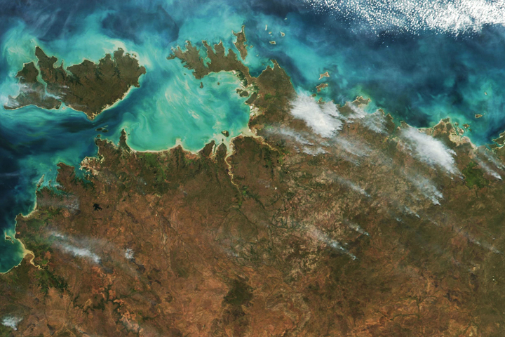
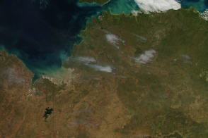
As is common during the dry season, satellites detected many fires in Northern Territory.
Published Jun 11, 2018
The beginning of the dry season also brings the beginning of the burning season to fire-prone savannas and grasslands.
Published May 10, 2014alert message
