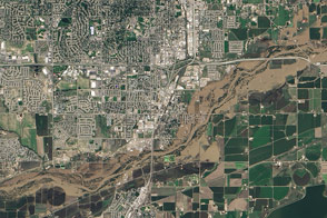
The flooded South Platte River covered roads and farmland when Landsat 8 acquired this image on September 17.
Published Sep 20, 2013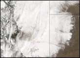
Coloradans hoping for a white Christmas saw too much of a good thing in December 2006. Severe storms struck on December 20 and 21, December 28, and January 5, 2007.
Published Dec 29, 2006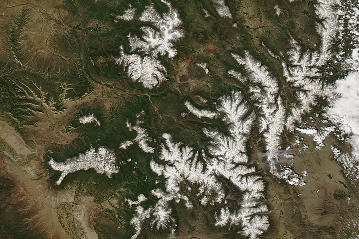
For this late in the year, snowpack is remarkably deep in Colorado and Utah.
Published Jun 12, 2019
A black-and-white GOES image shows two cloud banks immediately north of Denver, Colorado.
Published Jun 8, 2009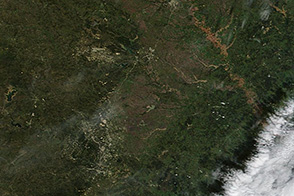
Muddy and swollen rivers are visible around Austin, Texas in the wake of flash floods.
Published Nov 1, 2013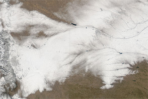
Snow makes a wide track across Colorado, Wyoming, Nebraska, and Kansas in early February 2012.
Published Feb 7, 2012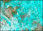
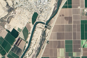
With nearly all of the Colorado River’s water diverted for human uses, its delta has withered. A plan to release some water from dams and reservoirs this spring offers hope for a greener future.
Published Mar 22, 2014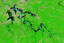
Acquired on May 9, 2010 and April 29, 2010, these false-color images show changes in the Green and Ohio Rivers caused by severe flooding.
Published May 14, 2010
A major storm dropped snow throughout most of Colorado on January 19, 2006.
Published Jan 25, 2006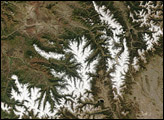
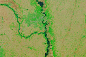
Acquired June 6, 2011, and June 16, 2010, these false-color images compared conditions along the Missouri River in Nebraska, Iowa, and Missouri.
Published Jun 7, 2011alert message
