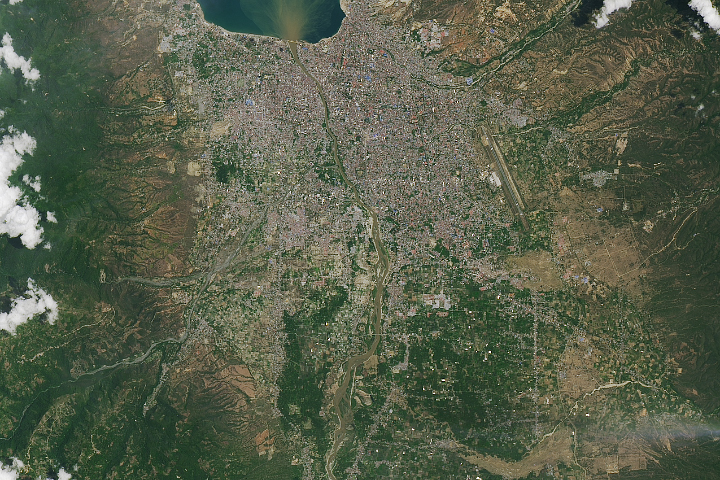
Sobering satellite views reveal massive damage on the Indonesian island of Sulawesi.
Published Oct 3, 2018Image of the Day Land Water Human Presence Remote Sensing Earthquakes
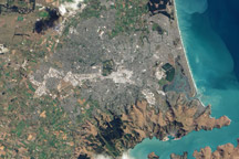
This natural color image of Christchurch, New Zealand, is overlain with a measure of the ground shaking in the area during the February 2011 earthquake.
Published Mar 9, 2011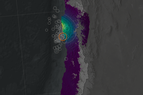
Scientists have projected the size and location of changes in Earth’s surface following the September 2015 earthquake and tsunami off Chile.
Published Oct 1, 2015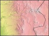

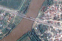
The day after a powerful 7.3-magnitude earthquake shook Honduras, Taiwan’s Formosat-2 satellite captured this detailed, photo-like image showing the collapsed span of the earthquake-damaged Democracy bridge.
Published Jun 3, 2009
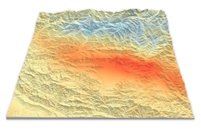
Using satellite radar sensors, scientists have been able to detect the rising and falling of the landscape in the Himalayas caused by the Gorkha earthquake.
Published May 14, 2015