In Brazil, vast wild areas have been converted into farms, producing a major protein-packed cash crop but also endangering wildlife.
Published Sep 9, 2018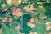
Astronaut photograph of the diverse agricultural landscape in the western part of Minas Gerais state in Brazil.
Published Feb 21, 2011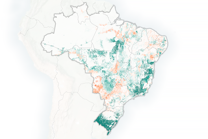
Brazilian researchers are using satellites to calculate how many cattle can be supported by the country's pasturelands.
Published Mar 12, 2019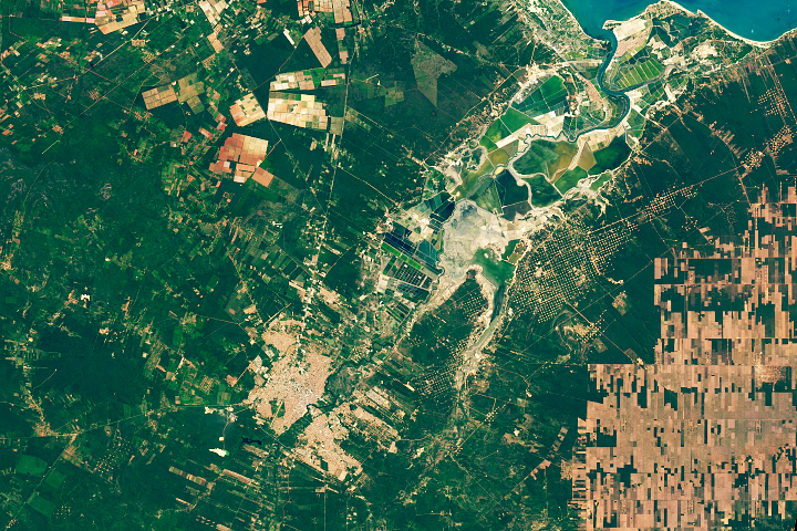
The signs of economic activity around this Brazilian city are easy to see from space.
Published Jan 4, 2020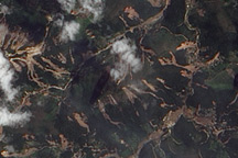
The Advanced Land Imager on EO-1 captured these true-color images of the hills north and west of Teresópolis, Brazil, where mudslides devastated the mountainous region in January 2011.
Published Feb 5, 2011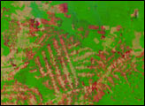
In the state of Acre in western Brazil, farms and pastures are surrounded by large, undisturbed areas of Amazon Rainforest. Since January 2005, many areas in the state have been experiencing severe drought, and the forests have become tinder dry. Since August, agricultural fires—many of them ignited in violation of a state-declared ban—have been escaping control, racing through adjacent fields and spreading into the forests.
Published Oct 14, 2005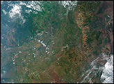
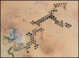
Green circles in the desert frequently indicate tracts of agriculture supported by center-pivot irrigation. The Al Khufrah Oasis in southeastern Libya (near the Egyptian border) is one of Libya’s largest agricultural projects, and is an easy-to-recognize landmark for orbiting astronauts aboard the International Space Station. Because only about 2 percent of Libya’s land receives enough rainfall to be cultivated, this project uses fossil water from a large underground aquifer. The Libyan government also has a plan called the Great Man Made River to pump and transport these groundwater reserves to the coast to support Libya’s growing population and industrial development.
Published Nov 15, 2004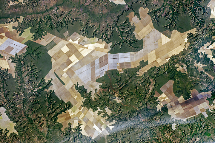
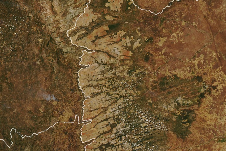
The many flat plateau surfaces in the southern parts of Maranhão State are ideal for the wheeled machinery of mechanized agriculture.
Published Dec 4, 2017
Twelves cities in South America’s largest country will host games in the 2014 World Cup of football (soccer).
Published Jun 13, 2014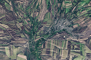
Farming and natural topography turn this Landsat image into something reminiscent of a cubist painting in shades of green and tan.
Published Sep 25, 2013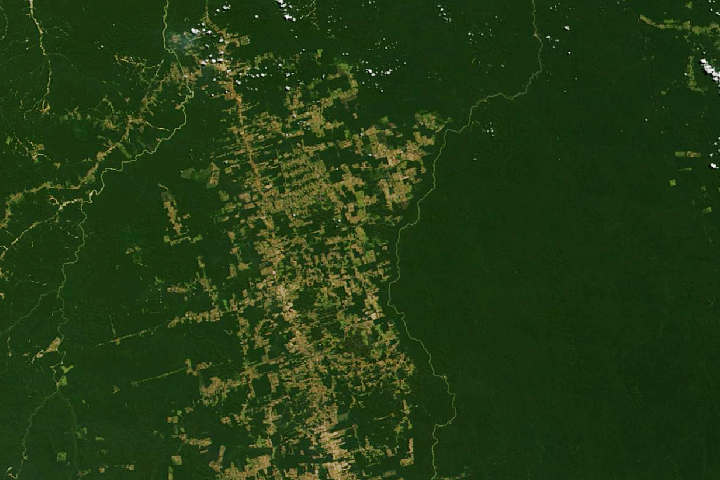
Decades of satellite data make it possible to map how deforestation has evolved over time.
Published Nov 21, 2019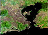
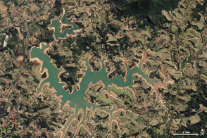
Water supplies are near historically low levels in southeastern Brazil.
Published Oct 23, 2014