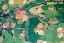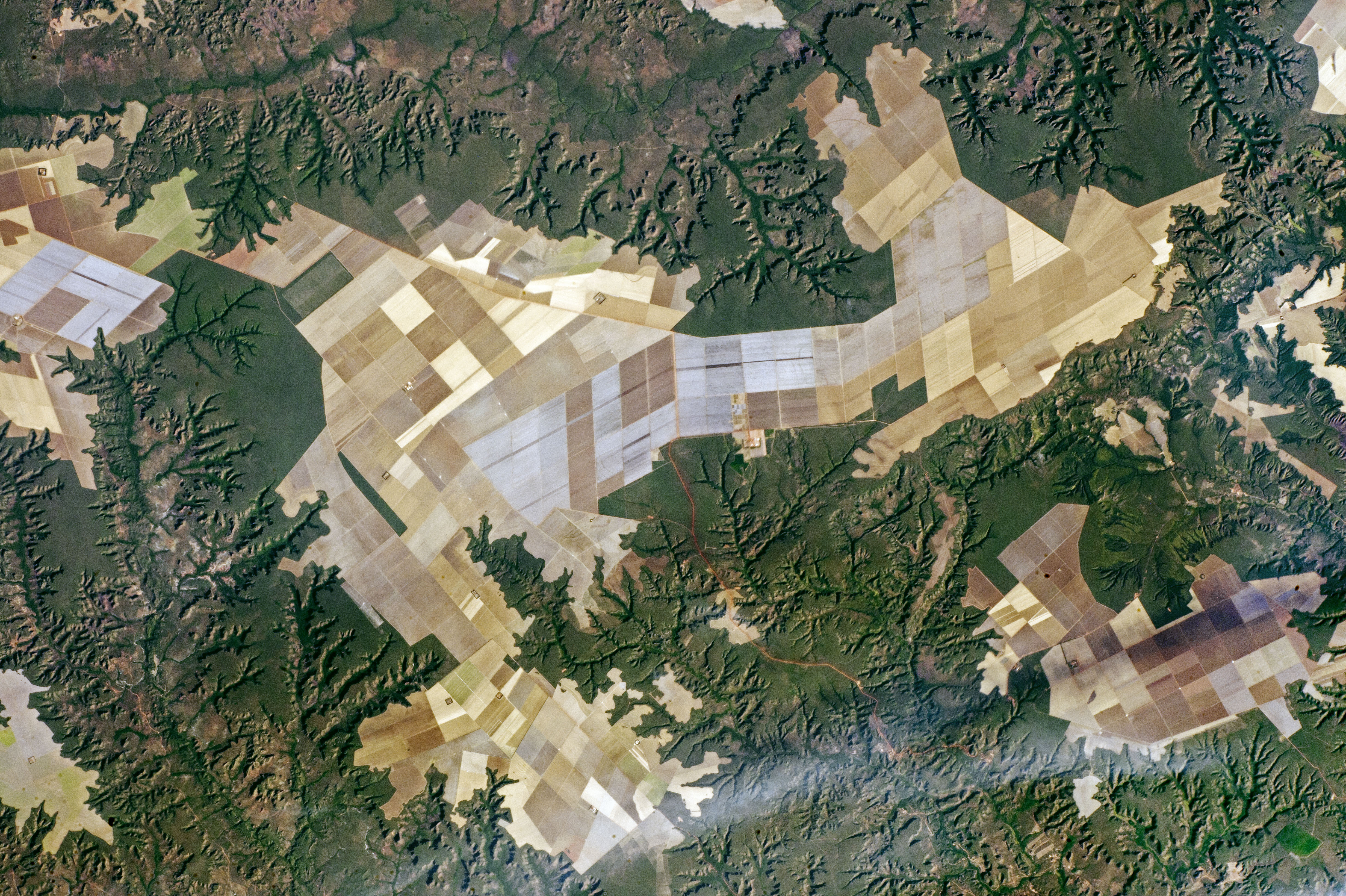
An astronaut aboard the International Space Station focused a camera on the geometric patterns of farms on some plateaus in northeast Brazil. Here the fields, mainly soybeans and maize, have been planted right up to the edges of the small plateaus. The edges are ragged lines marked by cliffs.
The many flat plateau surfaces of southern Maranhão State are ideal for the wheeled machinery of mechanized agriculture. In fact, the capital city of the region, Balsas, is known as the “capital of mechanized agriculture.”
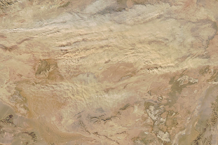
The steep-sided river valleys—such as that of the Balsas River—lie fully 200 meters (600 feet) below the plateaus. Numerous finger-like tributaries are eroding and creating smaller valleys, which are poor landscapes for mechanized farming. One result is that the forests around the valleys remain in their pristine form, even though southern Maranhão is part of Brazil’s long “arc of deforestation” on the southern margin of a dense forest zone.
Astronaut photograph ISS052-E-16508 was acquired on July 19, 2017, with a Nikon D4 digital camera using a 210 millimeter lens, and is provided by the ISS Crew Earth Observations Facility and the Earth Science and Remote Sensing Unit, Johnson Space Center. The image was taken by a member of the Expedition 52 crew. The image has been cropped and enhanced to improve contrast, and lens artifacts have been removed. The International Space Station Program supports the laboratory as part of the ISS National Lab to help astronauts take pictures of Earth that will be of the greatest value to scientists and the public, and to make those images freely available on the Internet. Additional images taken by astronauts and cosmonauts can be viewed at the NASA/JSC Gateway to Astronaut Photography of Earth. Caption by Justin Wilkinson, Texas State University, JETS Contract at NASA-JSC.