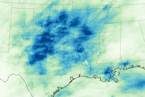
The Southern and Central United States have been drenched by rainstorms in the spring of 2019, leading to widespread flooding.
Published May 29, 2019Image of the Day Land Water Floods Human Presence Remote Sensing
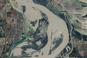
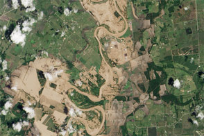
Flooding in early 2016 affected communities along the length of the Mississippi River; here is the view near Arkansas City.
Published Jan 15, 2016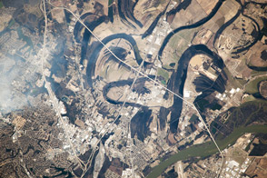
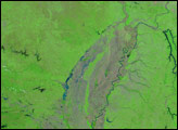
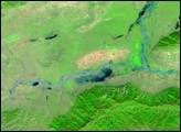
Near the city of Little Rock, the river has meandered for decades, leaving its marks across the landscape.
Published Apr 21, 2014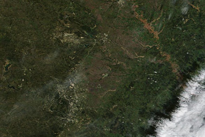
Muddy and swollen rivers are visible around Austin, Texas in the wake of flash floods.
Published Nov 1, 2013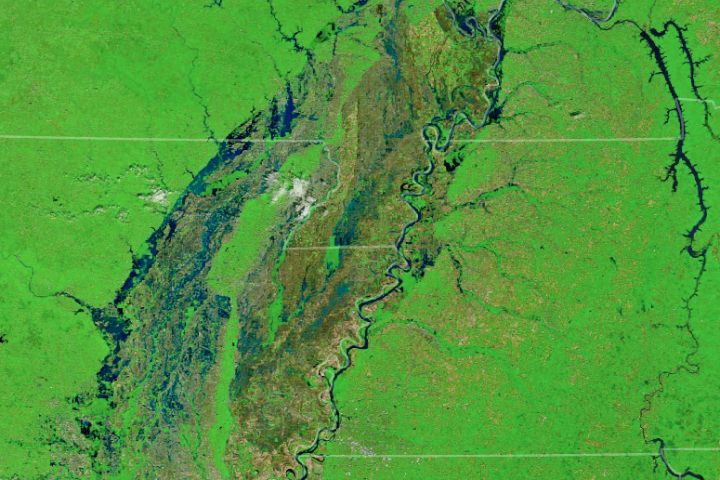
Several tributaries of the Mississippi River face record or near-record water levels.
Published May 3, 2017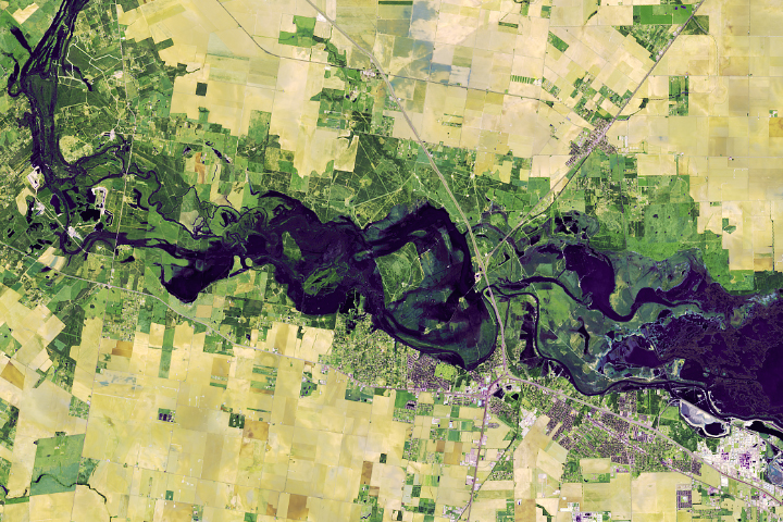
Storm after storm rolled through and dumped record rainfall in parts of Texas.
Published Nov 2, 2018Image of the Day Atmosphere Land Water Floods Human Presence
After years of drought, Texas, Oklahoma, and other states are now coping with persistent flooding rains.
Published May 22, 2015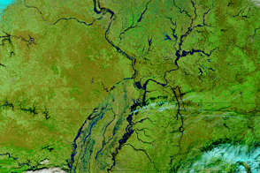
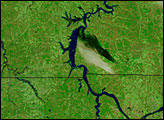
Parts of the Mississippi are swollen and spilling over its banks due to late December rains that are now flowing downstream.
Published Jan 5, 2016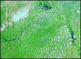
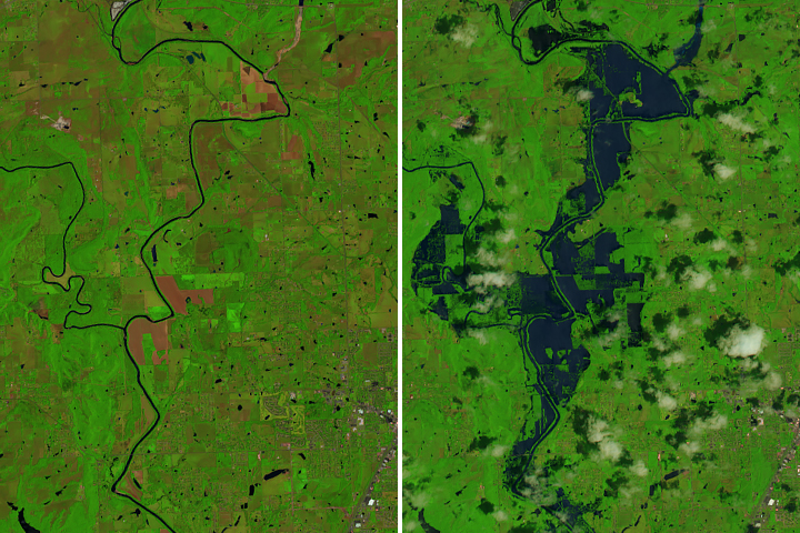
Acquired May 10, 2011, and April 29, 2011, these false-color images show growing floods west of the Mississippi River.
Published May 11, 2011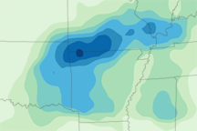
This map depicts rainfall for the Midwestern U.S. from April 19 to 25, 2011, when severe rains added to spring melt to bring dozens of rivers above flood stage.
Published Apr 27, 2011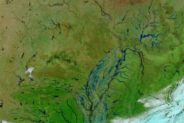
In late February 2018, heavy rains gave rise to damaging floods along the Ohio and Mississippi rivers.
Published Feb 27, 2018Image of the Day Land Water Floods Human Presence Remote Sensing
The Brazos River reached record-high water levels west of Houston.
Published Jun 3, 2016Image of the Day Land Water Floods Severe Storms Human Presence
Relentless rains are to blame for ongoing flooding in northeastern China. On September 1, 2003, embankments along the Weihe river, left, burst.
Published Oct 23, 2003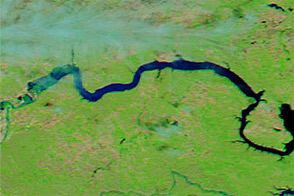
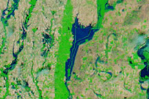
Acquired June 1, 2011, and June 4, 2010, these false-color images compare parts of the Missouri and Souris Rivers.
Published Jun 2, 2011