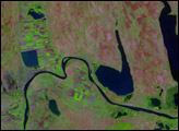
Heavy rain and melting snow drove rivers across Central Europe over their banks in early April 2006.
Published Apr 26, 2006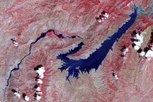
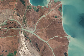
This false-color image shows the central part of the Vakhsh River, including the Nurek Dam and reservoir.
Published Nov 25, 2008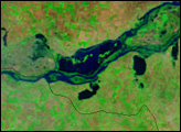
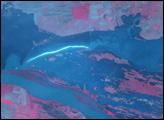
Heavy rain and melting snow drove rivers across Central Europe over their banks in early April 2006.
Published Apr 21, 2006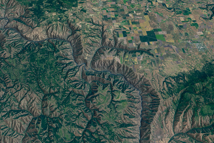
The Salmon River in Idaho, one of the longest free-flowing rivers in the United States, rushes through a geologic wonderland of wooded ridges, eroded bluffs, and stone towers and crags.
Published Jul 22, 2020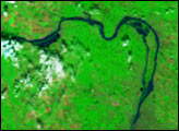
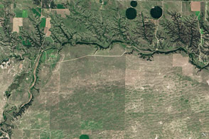
Cliffs, waterfalls, and a wide mix of vegetation line a river that winds through the Great Plains in Nebraska.
Published May 29, 2016
The Danube Delta is a rich but threatened ecosystem, constantly remodeled by natural and human activities.
Published Feb 16, 2013
As they prepare for a satellite that will measure the height and areal extent of rivers in unprecedented detail, hydrologists have released a better map of North American river widths.
Published Jul 9, 2015
Trees have long been cherished here for timber and for the colors they bring to “the Fall Rhapsody.”
Published Oct 24, 2020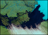
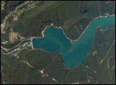
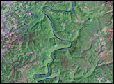
Chile’s Bíobío River flows northwestward from the high Cordillera of the Andes to the Pacific Ocean near Concepción, about 450 kilometers south of Santiago. The river is known globally for spectacular white-water rafting. This image shows a section of the river that skirts around Callaqui volcano in the Andes, and features the Pangue Dam and reservoir filling a narrow, meandering segment of the Bíobío River valley. Completed in 1996, the dam is the first of six hydroelectric dams planned by ENDESA, a Chilean utility company. The future development of the Bíobío River is a point of intense debate among Chileans, and has been called Chile’s “defining environmental issue.”
Published Feb 16, 2004