The eastern section of the Rio Grande Wild and Scenic River runs deep through the desert wilderness.
Published Jun 11, 2016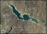
The most striking feature is Roosevelt Lake, an artificial lake created by the construction of Roosevelt Dam across the Salt River. The National Monument is surrounded by the Tonto National Forest, which includes low plains, desert scrubland, and alpine pine forests.
Published Sep 4, 2005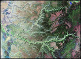
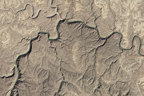
Canyon de Chelly National Monument was created in 1931 to protect the cultural heritage of the canyon lands of Arizona.
Published Apr 2, 2006
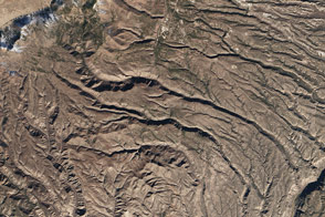
The rugged canyons slicing through plateaus in New Mexico’s Bandelier National Monument contain relics from human civilization that date back 11,000 years.
Published Feb 10, 2016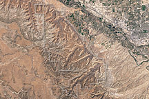
Acquired April 2, 2002, this natural-color image shows Colorado National Monument and nearby agricultural and residential areas.
Published Mar 6, 2011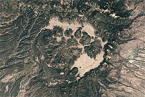
Acquired May 22, 2002, this natural-color image shows Valles Caldera in New Mexico.
Published May 22, 2011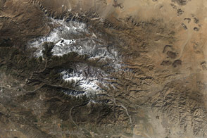
Three new national monuments in Southern California connect with existing protected areas to form the world’s second-largest desert preserve.
Published Mar 13, 2016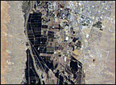
The city of Las Cruces is located within the Rio Grande Rift, a large geological feature that extends from Colorado southwards into Mexico. The Rio Grande Rift is marked by a series of depressions punctuated with uplifted mountains. Sinking in one place is often accompanied by uplift along boundaries of the grabens—the striking Organ Mountains to the east of Las Cruces are one such uplifted fault block.
Published Jul 4, 2005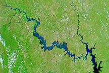
Acquired July 11, 2010, and June 21, 2010, these false-color images show northeastern Mexico before and after flooding along the Rio Salado.
Published Jul 15, 2010
The landscape is a recently formed set of basaltic lava flows that creates a foreboding landscape of sharp obsidian, cinder and spatter cones, twisted rivers of solidified rock, pit craters, and a network of caves from lava tubes.
Published Oct 16, 2005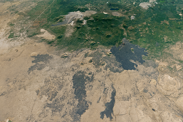
Old, hardened lava flows extend from the caldera of Medicine Lake volcano in northern California.
Published Oct 10, 2017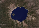
It one of the oldest parks in the United States, created in 1902 by President Theodore Roosevelt.
Published Jan 23, 2005
In August 2010, Lake Mead reached its lowest level since 1956, the result of a persistent drought and increasing human demand.
Published Sep 23, 2010