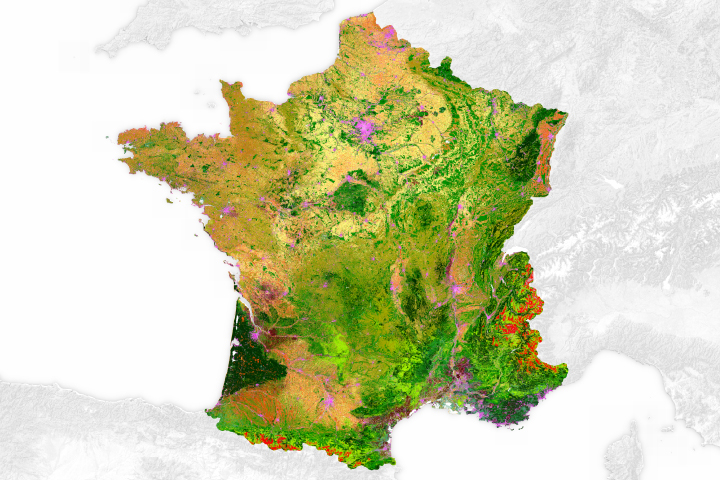
From vineyards to roadways, this map paints a detailed picture of surface types found across the country.
Published Aug 15, 2017
A series of maps showing land use in 1850 and 1920.
Published Feb 9, 2008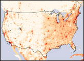
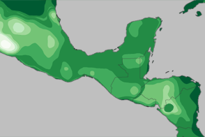
What did Central America look like at the height of the Mayan civilization? Probably different than you think.
Published Feb 2, 2012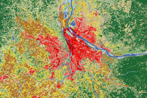
Satellites help land managers and city planners track city growth and ecosystem health around Portland, Oregon.
Published Aug 2, 2012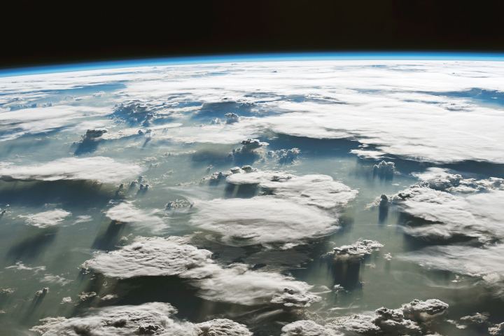
In spite of its clear significance to the planet, the expansive region is a complex and challenging place for remote sensing scientists to study.
Published Sep 26, 2019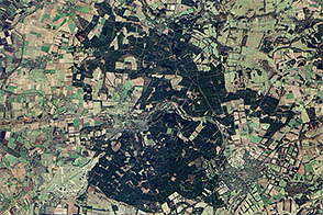
To celebrate Earth Day, Earth Observatory released a series of five puzzlers. Except for Thetford forest, all showed landscapes relatively untouched by human society.
Published Apr 27, 2013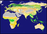
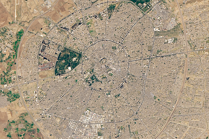
Erbil Citadel is possibly the oldest continuously occupied human settlement on Earth.
Published Apr 2, 2019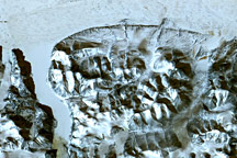
This series of maps shows how much the landscape of the eastern United States changed between 1650 and 1992. The maps depict canopy height, the height of the tallest continuous layer of vegetation.
Published Feb 2, 2008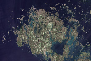
This summertime, natural-color image shows the Åland Islands between Sweden and Finland.
Published Sep 20, 2011