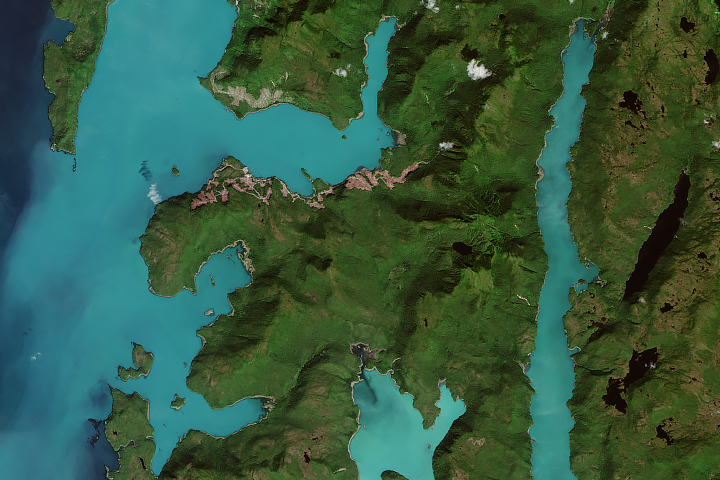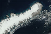
An astronaut aboard the International Space Station captured this photograph of the northernmost portion of Australia’s Northern Territory, including Melville, Bathurst, and several other Tiwi Islands. With an area of 5,786 square kilometers (2,234 square miles), Melville is the largest island in northern Australia.
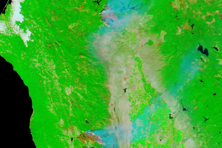
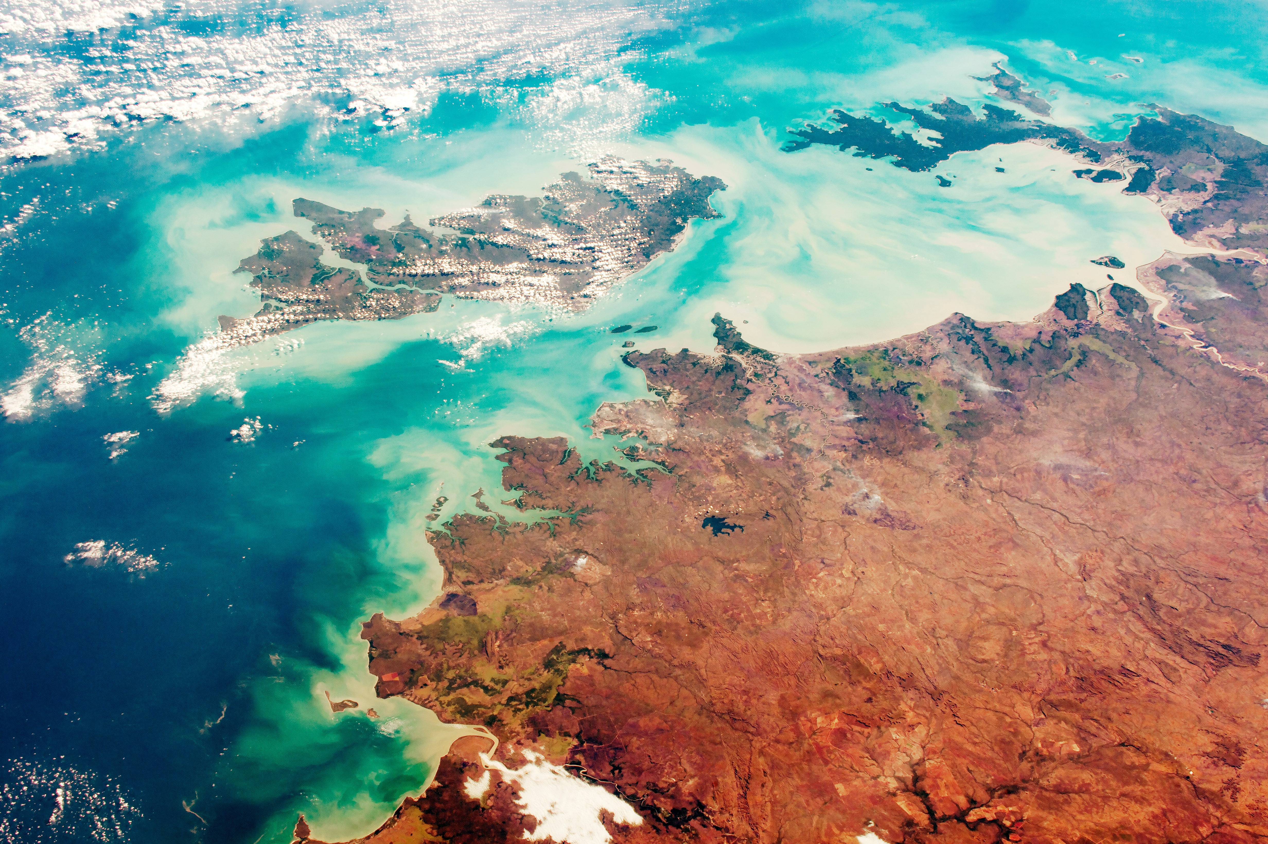
Northern Territory is an Australian federal division characterized by open, sparsely populated land that ranges from wetlands in the north to desert in the south. Rivers flow north from higher elevations to a relatively flat coast and carry reddish-tan sediment into the sea, coloring the waters. As in other Australian territories, most of the population resides along the coast. Darwin is the capital and largest city in the area, with an estimated population over 148,000 (as of 2017).
Although the first settlers of this area were indigenous Australians, many of the place names come from explorers and the days of European settlement in the early 1800s. For example, Beagle Gulf is named after the HMS Beagle, the vessel that Charles Darwin famously sailed on. The Port of Darwin was named after the well-known evolutionary biologist even though he never visited the region.
Travelling inland, a large portion of the territory is designated as national park or conservation land. Kakadu National Park is the largest national park in Australia. Djukbinj National Park, approximately 80 kilometers (50 miles) east of Darwin, is mainly comprised of wetlands. Litchfield National Park attracts tourists with several waterfalls, the Blyth Homestead (a 1920s remnant of a typical pioneer home), and enormous termite mounds. The Cobourg Peninsula (top right) separates the Arafura Sea and Van Diemen Gulf and is designated as the Garig Gunak National Park.
Astronaut photograph ISS052-E-53588 was acquired on August 14, 2017, with a Nikon D4 digital camera using a 78 millimeter lens and is provided by the ISS Crew Earth Observations Facility and the Earth Science and Remote Sensing Unit, Johnson Space Center. The image was taken by a member of the Expedition 52 crew. The image has been cropped and enhanced to improve contrast, and lens artifacts have been removed. The International Space Station Program supports the laboratory as part of the ISS National Lab to help astronauts take pictures of Earth that will be of the greatest value to scientists and the public, and to make those images freely available on the Internet. Additional images taken by astronauts and cosmonauts can be viewed at the NASA/JSC Gateway to Astronaut Photography of Earth. Caption by Andi Hollier Thomas, Hx5, JETS Contract at NASA-JSC.