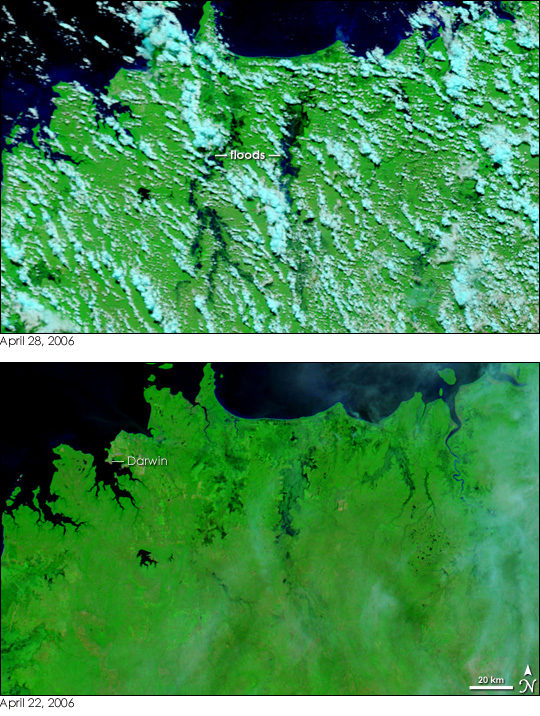
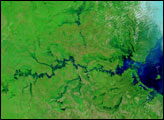
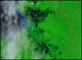
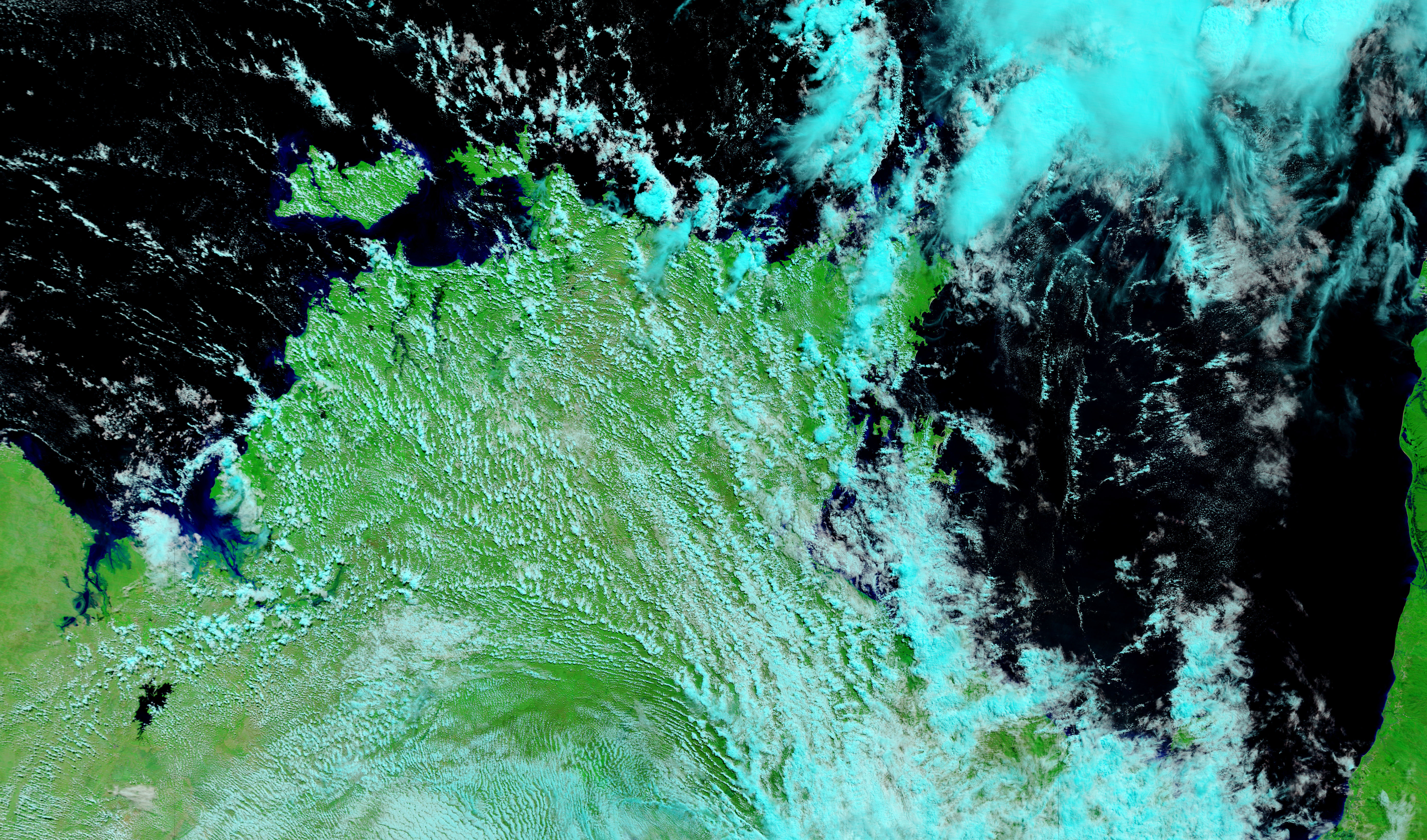
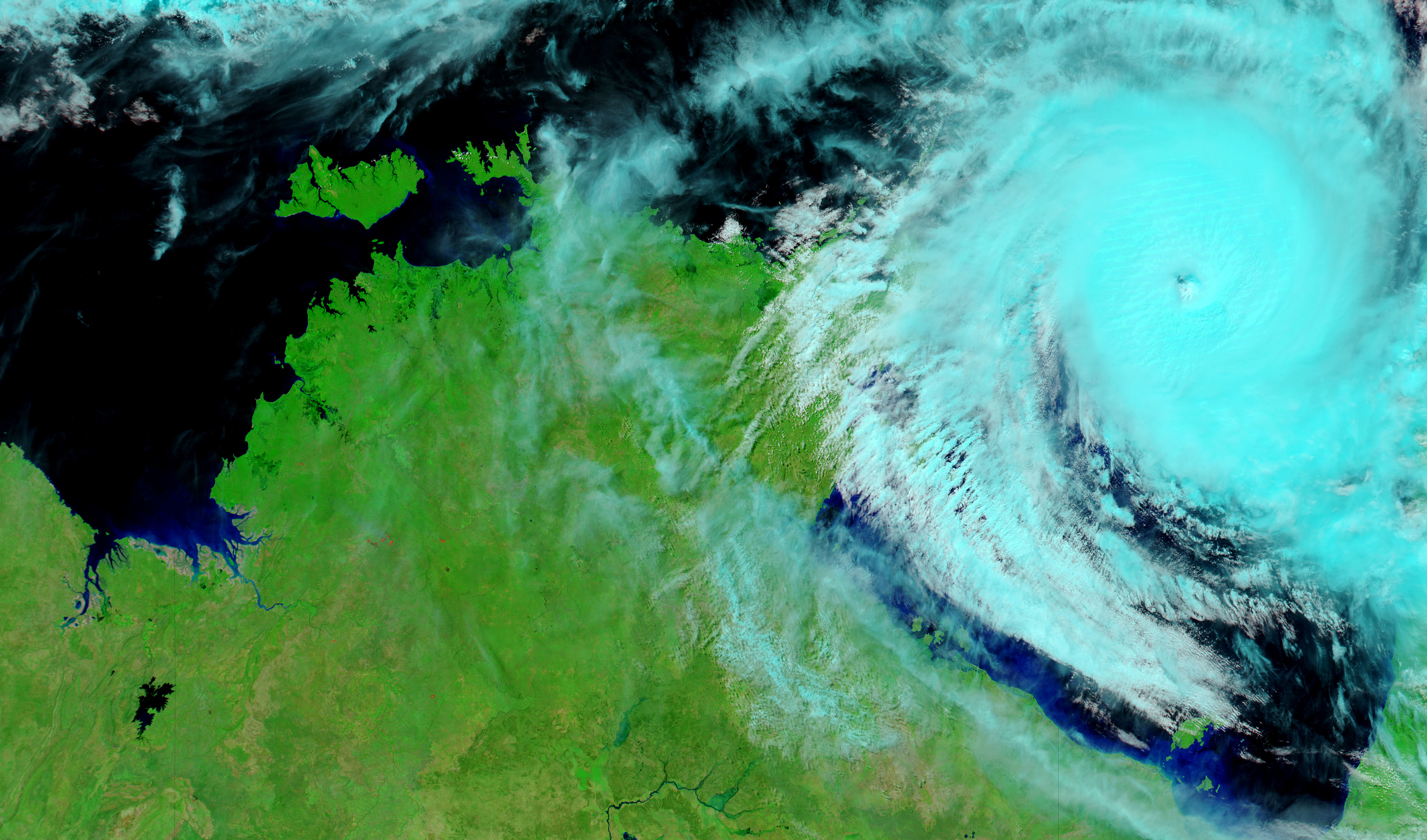
With winds that reached up to 350 kilometers per hour (215 miles per hour), Cyclone Monica was the strongest storm of the 2006 Australian cyclone season as of April 28. The Category 5 cyclone came ashore on the sparsely populated coastline of the Northern Territory on April 25, and quickly dissipated as it moved inland. Though the winds died down, Monica still brought heavy rain to the Northern Territory. As a result, floods swept through river basins that were just recovering from widespread flooding brought on by wet-season rain in early April. The Moderate Resolution Imaging Spectroradiometer (MODIS) on NASA’s Terra satellite captured the top image of floods along the Adelaide (left) and Mary (right) Rivers. Water is black or dark blue against the backdrop of bright green vegetation. A few clouds, pale blue and white, linger over the flood area. Darwin, the capital of Northern Territory, is the light tan patch in the upper left corner of the image.
NASA images courtesy the MODIS Rapid Response Team at NASA GSFC.
Monsoon rains and Cyclone Monica triggered widespread flooding in Australia's Northern Territory in April 2006.
alert message


