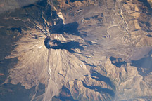
Nearly three decades after the catastrophic eruption of Mount St. Helens, the impact on the forest in the blast zone is still obvious in this astronaut photograph. South of the mountain, lush green forests cover the landscape, while north of the mountain, vegetation remains sparse.
Published Jan 1, 2009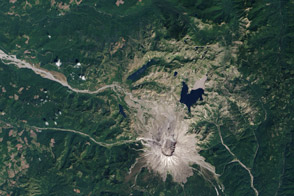
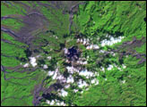
Over 33 years, life has reclaimed the land from the wreckage of the 1980 volcanic eruption.
Published Oct 20, 2013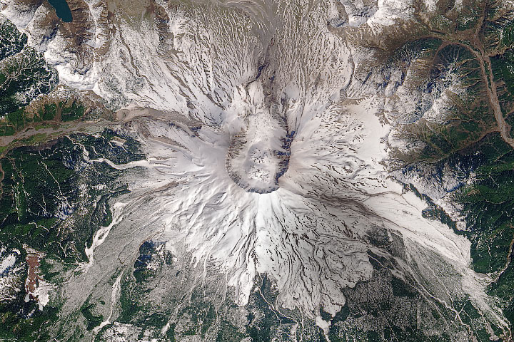
In May 1980, a satellite watched the mountain violently erupt; satellites over the next forty years watched it recover.
Published May 18, 2020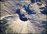
On May 18, 1980, Mount Saint Helens volcano erupted. Because the eruption occurred in an easily accessible region of the U.S., Mount St. Helens has provided unprecedented opportunities for U.S. researchers to collect scientific observations of the geology of an active volcano and document the regional ecological impact and recovery from an eruption.
Published May 17, 2004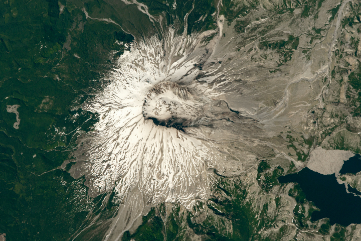
The area around the volcano has been left to recover naturally from the disaster, which it has done quite nicely, if slowly.
Published Jul 22, 2018
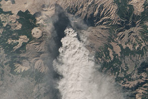
Landsat 8 observed a thick plume of ash from the Japanese volcano on January 13, 2015.
Published Jan 18, 2015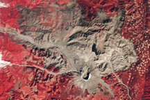
A trio of images documents the devastation and recovery of the landscape around Mt. St. Helens Volcano following its cataclysmic 1980 eruption.
Published May 18, 2010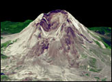
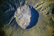
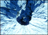
This astronaut photo of Tambora Volcano shows layered deposits and a lake within the caldera.
Published Jul 19, 2009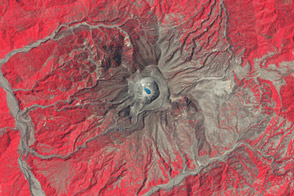
Thirty years ago, an eruption in Mexico devastated a community and altered the climate.
Published Mar 29, 2012alert message
