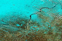
Acquired March 27, 2011, and February 28, 2011, these false-color images show rising waters on the Minnesota and Mississippi Rivers.
Published Mar 29, 2011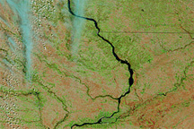
Acquired April 12, 2011, and March 2, 2011, these false-color images show retreating snows and rising rivers in the U.S. Midwest.
Published Apr 14, 2011
Acquired April 6, 2011, March 18, 2011, and March 7, 2011, these false-color images show melting snow and rising water levels in North Dakota, South Dakota, and Minnesota.
Published Apr 11, 2011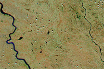
Acquired April 4, 2011, and March 5, 2011, these false-color images show snow cover retreat and rising rivers in South Dakota.
Published Apr 5, 2011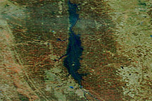
Acquired April 14, 2011, and March 18, 2011, these false-color images show conditions along the Red River in North Dakota, Minnesota, and Manitoba.
Published Apr 18, 2011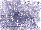
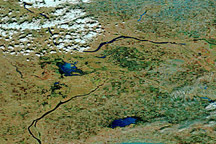
Acquired April 24, 2011, and April 4, 2011, these false-color images show melting snow and rising waters in Manitoba.
Published Apr 25, 2011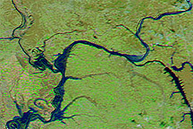
Acquired March 12, 2011, and February 12, 2011, these false-color images show parts of the Ohio and Mississippi Rivers before and after melting snow raised water levels.
Published Mar 14, 2011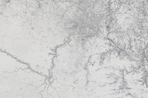
Minnesota is covered in white in this photo-like satellite image, taken one day after a record-setting snowstorm moved across the state.
Published Dec 13, 2010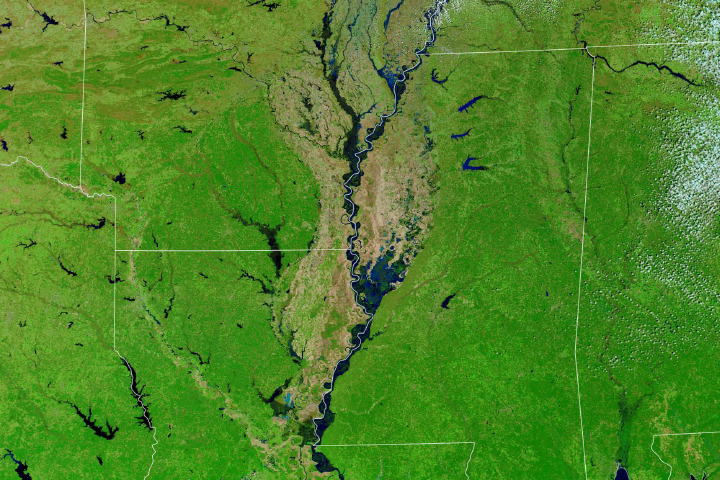
At least 200 gauges along the waterways of the Central United States reported some level of flooding.
Published Mar 23, 2019
Acquired on March 17, 2010 (top), and August 5, 2009 (bottom), these false-color images show differences in vegetation and river levels at different times of year.
Published Mar 20, 2010alert message
